Iglesias geodata
Iglesias (Sardinia) is a seat of a third-order administrative division; located in Italy in Europe/Rome (GMT+2) time zone. With population of 22,659 people, there are 382 cities with bigger population in this country. Compared to other cities in Italy, 91.2% of cities are located further ↑North; 87.5% of cities are located further →East and 56.7% of cities have higher elevation than Iglesias. Note1


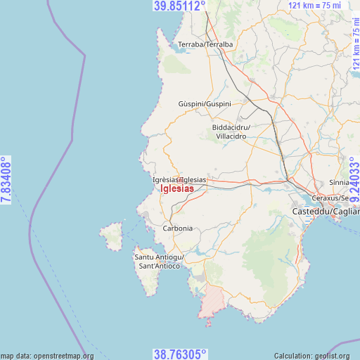
Iglesias GPS coordinates[2]
39° 18' 33.12" North, 8° 32' 13.92" East
| Map corner | latitude | longitude |
|---|---|---|
| Upper-left | 39.85112°, | 7.83408° |
| Center: | 39.3092°, | 8.5372° |
| Lower-right: | 38.76305°, | 9.24033° |
| Map W x H: | 121×121 km | = 75.2×75.2mi |
| max Lat: | 47.04031° ⇑91.2% North |
| Iglesias: | 39.3092° |
| min Lat: | ⇓8.8% South 35.50142° |
| min Long | Iglesias | max Long |
| 6.69888° | 8.5372° | 18.48682° |
| W 12.5%⇐ | ⇒87.5% E |
Elevation
Elevation of Iglesias is 190 m = 623 ft, and this is 116.7 m = 383 ft below average elevation for this country.
| Max E: |
2085 m = 6841 ft | 56.7% |
| Avg. | 306.7 m = 1006 ft | |
| Iglesias | 190 m = 623 ft | |
Min E: |
-4 m = -13 ft | 43.3% |
See also: Italy elevation on elevation.city.
Geographical zone
Iglesias is located in North temperate zone (between Tropic of Cancer and the Arctic Circle). Distance of this Northern Tropic circle is 1764.9 km =1096.7 mi to South.| Distance of | km | miles | from Iglesias |
|---|---|---|---|
| North Pole | 5636.3 | 3502.2 | to North |
| Arctic Circle | 3030.4 | 1883 | to North |
| Tropic Cancer | 1764.9 | 1096.7 | to South |
| Equator | 4370.8 | 2715.9 | to South |


Nearby cities:
15 places around Iglesias: (largest is in red/bold)
• Bacu Abis
9.6 km =6 mi,  220°
220°
• Barbusi
12.1 km =7.5 mi,  192°
192°
• Buggerru
15.3 km =9.5 mi,  310°
310°
• Carbonia
16.1 km =10 mi,  184°
184°
• Cortoghiana
12.5 km =7.8 mi,  209°
209°
• Domusnovas
9.8 km =6.1 mi,  80°
80°
• Fluminimaggiore
14.8 km =9.2 mi,  346°
346°
• Gonnesa
7.5 km =4.7 mi,  229°
229°
• Musei
11.1 km =6.9 mi,  93°
93°
• Nebida
8.6 km =5.3 mi,  273°
273°
• Nuraxi Figus
13.1 km =8.1 mi, 222°
• Paringianu
17.6 km =10.9 mi, 211°
• Perdaxius
17.7 km =11 mi,  159°
159°
• Portoscuso
17.6 km =10.9 mi, 229°
• Villamassargia
9.7 km =6 mi,  113°
113°
Sources, notices
• [Note1] Compared only with cities in Italy existing in our database
• [Src1] Map data: © OpenStreetMap contributors (CC-BY-SA)
• [Src2] Other city data from geonames.org with taken over terms of usage.
• [Src3] Geographical zone / Annual Mean Temperature by Robert A. Rohde @ Wikipedia
