Molveno geodata
Molveno (Trentino-Alto Adige) is a seat of a third-order administrative division; located in Italy in Europe/Rome (GMT+2) time zone. With population of 1,063 people, there are 6430 cities with bigger population in this country. Compared to other cities in Italy, 94.8% of cities are located further ↓South; 57.8% of cities are located further →East and 94.7% of cities have lower elevation than Molveno. Note1
Administrative division(s):
- Level 1: Trentino-Alto Adige
- Level 2: Provincia autonoma di Trento
- Level 3: Molveno


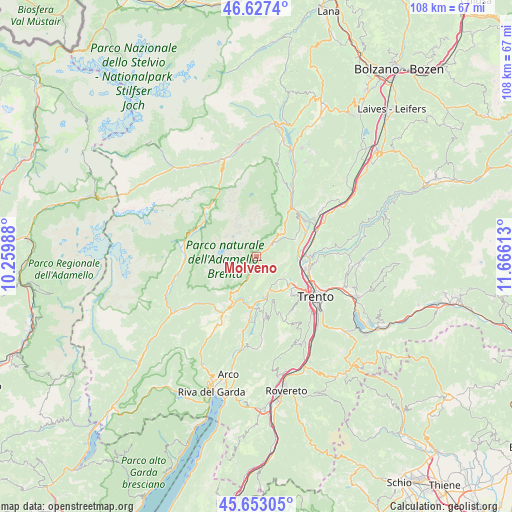
Molveno GPS coordinates[2]
46° 8' 32.568" North, 10° 57' 46.8" East
| Map corner | latitude | longitude |
|---|---|---|
| Upper-left | 46.6274°, | 10.25988° |
| Center: | 46.14238°, | 10.963° |
| Lower-right: | 45.65305°, | 11.66613° |
| Map W x H: | 108.3×108.3 km | = 67.3×67.3mi |
| max Lat: | 47.04031° ⇑5.2% North |
| Molveno: | 46.14238° |
| min Lat: | ⇓94.8% South 35.50142° |
| min Long | Molveno | max Long |
| 6.69888° | 10.963° | 18.48682° |
| W 42.2%⇐ | ⇒57.8% E |
Elevation
Elevation of Molveno is 862 m = 2828 ft, and this is 555.3 m = 1822 ft above average elevation for this country.
| Max E: |
2085 m = 6841 ft | 5.3% |
| Molveno | 862 m 2828 ft | |
| Avg. | 306.7 m = 1006 ft | |
Min E: |
-4 m = -13 ft | 94.7% |
See also: Italy elevation on elevation.city.
Geographical zone
Molveno is located in North temperate zone (between Tropic of Cancer and the Arctic Circle). Distance of this North polar circle is 2270.6 km =1410.9 mi to North.| Distance of | km | miles | from Molveno |
|---|---|---|---|
| North Pole | 4876.5 | 3030.1 | to North |
| Arctic Circle | 2270.6 | 1410.9 | to North |
| Tropic Cancer | 2524.6 | 1568.7 | to South |
| Equator | 5130.6 | 3188 | to South |


Nearby cities:
15 places around Molveno: (largest is in red/bold)
• Andalo
4.2 km =2.6 mi,  49°
49°
• Cadine
10 km =6.2 mi,  125°
125°
• Calavino
10.8 km =6.7 mi,  171°
171°
• Cavedago
7.2 km =4.5 mi, 48°
• Dorsino
9.3 km =5.8 mi,  213°
213°
• Fai della Paganella
9.1 km =5.7 mi,  64°
64°
• Nave San Rocco
11.3 km =7 mi,  75°
75°
• Padergnone
9.3 km =5.8 mi, 169°
• Pressano
11.1 km =6.9 mi, 84°
• San Lorenzo in Banale
8.4 km =5.2 mi, 209°
• Sarche
10.6 km =6.6 mi,  184°
184°
• Spormaggiore
10.7 km =6.6 mi,  37°
37°
• Terlago
8.1 km =5 mi, 128°
• Vezzano
7.6 km =4.7 mi,  159°
159°
• Zambana
10.3 km =6.4 mi, 84°
Sources, notices
• [Note1] Compared only with cities in Italy existing in our database
• [Src1] Map data: © OpenStreetMap contributors (CC-BY-SA)
• [Src2] Other city data from geonames.org with taken over terms of usage.
• [Src3] Geographical zone / Annual Mean Temperature by Robert A. Rohde @ Wikipedia
