Ceranesi geodata
Ceranesi (Liguria) is a seat of a third-order administrative division; located in Italy in Europe/Rome (GMT+2) time zone. With population of 3,762 people, there are 2528 cities with bigger population in this country. Compared to other cities in Italy, 51.1% of cities are located further ↓South; 82.8% of cities are located further →East and 66.2% of cities have higher elevation than Ceranesi. Note1


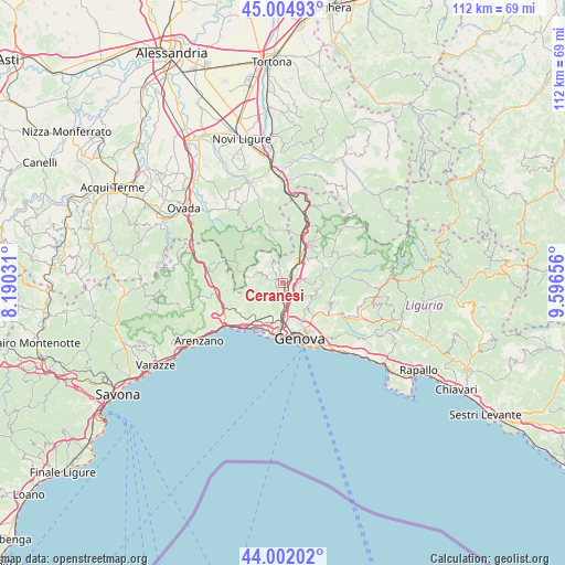
Ceranesi GPS coordinates[2]
44° 30' 20.268" North, 8° 53' 36.348" East
| Map corner | latitude | longitude |
|---|---|---|
| Upper-left | 45.00493°, | 8.19031° |
| Center: | 44.50563°, | 8.89343° |
| Lower-right: | 44.00202°, | 9.59656° |
| Map W x H: | 111.5×111.5 km | = 69.3×69.3mi |
| max Lat: | 47.04031° ⇑48.9% North |
| Ceranesi: | 44.50563° |
| min Lat: | ⇓51.1% South 35.50142° |
| min Long | Ceranesi | max Long |
| 6.69888° | 8.89343° | 18.48682° |
| W 17.2%⇐ | ⇒82.8% E |
Elevation
Elevation of Ceranesi is 120 m = 394 ft, and this is 186.7 m = 613 ft below average elevation for this country.
| Max E: |
2085 m = 6841 ft | 66.2% |
| Avg. | 306.7 m = 1006 ft | |
| Ceranesi | 120 m = 394 ft | |
Min E: |
-4 m = -13 ft | 33.8% |
See also: Italy elevation on elevation.city.
Geographical zone
Ceranesi is located in North temperate zone (between Tropic of Cancer and the Arctic Circle). Distance of this Northern Tropic circle is 2342.6 km =1455.6 mi to South.| Distance of | km | miles | from Ceranesi |
|---|---|---|---|
| North Pole | 5058.5 | 3143.2 | to North |
| Arctic Circle | 2452.6 | 1524 | to North |
| Tropic Cancer | 2342.6 | 1455.6 | to South |
| Equator | 4948.6 | 3074.9 | to South |


Nearby cities:
15 places around Ceranesi: (largest is in red/bold)
• Busalla
8.3 km =5.2 mi,  29°
29°
• Campomorone
0.8 km =0.5 mi,  303°
303°
• Casella
9.1 km =5.7 mi,  68°
68°
• Ferriera-Pontasso
1.5 km =0.9 mi, 300°
• Fraconalto
9.6 km =6 mi,  352°
352°
• Gaiazza
1.7 km =1.1 mi,  267°
267°
• Isorelle
8.7 km =5.4 mi,  38°
38°
• Isoverde
3.7 km =2.3 mi,  315°
315°
• Manesseno
4.1 km =2.5 mi,  138°
138°
• Mignanego
2.9 km =1.8 mi, 34°
• Pedemonte
2.6 km =1.6 mi,  96°
96°
• Piccarello
6.2 km =3.9 mi,  112°
112°
• Prelo
1.7 km =1.1 mi,  80°
80°
• Santa Marta
0.2 km =0.1 mi,  198°
198°
• Serra Riccò
3.6 km =2.2 mi, 80°
Sources, notices
• [Note1] Compared only with cities in Italy existing in our database
• [Src1] Map data: © OpenStreetMap contributors (CC-BY-SA)
• [Src2] Other city data from geonames.org with taken over terms of usage.
• [Src3] Geographical zone / Annual Mean Temperature by Robert A. Rohde @ Wikipedia
