Piccarello geodata
Piccarello (Liguria) is a seat of a third-order administrative division; located in Italy in Europe/Rome (GMT+2) time zone. With population of 335 people, there are 10530 cities with bigger population in this country. Compared to other cities in Italy, 50.8% of cities are located further ↓South; 81.7% of cities are located further →East and 58.8% of cities have higher elevation than Piccarello. Note1


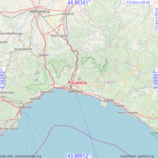
Piccarello GPS coordinates[2]
44° 29' 2.112" North, 8° 57' 57.42" East
| Map corner | latitude | longitude |
|---|---|---|
| Upper-left | 44.98341°, | 8.26282° |
| Center: | 44.48392°, | 8.96595° |
| Lower-right: | 43.98012°, | 9.66907° |
| Map W x H: | 111.6×111.6 km | = 69.3×69.3mi |
| max Lat: | 47.04031° ⇑49.2% North |
| Piccarello: | 44.48392° |
| min Lat: | ⇓50.8% South 35.50142° |
| min Long | Piccarello | max Long |
| 6.69888° | 8.96595° | 18.48682° |
| W 18.3%⇐ | ⇒81.7% E |
Elevation
Elevation of Piccarello is 173 m = 568 ft, and this is 133.7 m = 439 ft below average elevation for this country.
| Max E: |
2085 m = 6841 ft | 58.8% |
| Avg. | 306.7 m = 1006 ft | |
| Piccarello | 173 m = 568 ft | |
Min E: |
-4 m = -13 ft | 41.2% |
See also: Italy elevation on elevation.city.
Geographical zone
Piccarello is located in North temperate zone (between Tropic of Cancer and the Arctic Circle). Distance of this Northern Tropic circle is 2340.2 km =1454.1 mi to South.| Distance of | km | miles | from Piccarello |
|---|---|---|---|
| North Pole | 5060.9 | 3144.7 | to North |
| Arctic Circle | 2455 | 1525.5 | to North |
| Tropic Cancer | 2340.2 | 1454.1 | to South |
| Equator | 4946.1 | 3073.4 | to South |


Nearby cities:
15 places around Piccarello: (largest is in red/bold)
• Campomorone
7 km =4.3 mi,  293°
293°
• Casella
6.3 km =3.9 mi,  25°
25°
• Ceranesi
6.2 km =3.9 mi, 292°
• Ferriera-Pontasso
7.7 km =4.8 mi, 294°
• Gaiazza
7.8 km =4.8 mi, 287°
• Genoa
9 km =5.6 mi,  191°
191°
• Manesseno
3.1 km =1.9 mi,  258°
258°
• Mignanego
6.4 km =4 mi,  319°
319°
• Montoggio
7.6 km =4.7 mi,  60°
60°
• Pedemonte
3.8 km =2.4 mi,  303°
303°
• Prelo
4.9 km =3 mi, 303°
• San Teodoro
8.9 km =5.5 mi,  209°
209°
• Santa Marta
6.2 km =3.9 mi, 291°
• Savignone
9.1 km =5.7 mi,  10°
10°
• Serra Riccò
3.7 km =2.3 mi, 323°
Sources, notices
• [Note1] Compared only with cities in Italy existing in our database
• [Src1] Map data: © OpenStreetMap contributors (CC-BY-SA)
• [Src2] Other city data from geonames.org with taken over terms of usage.
• [Src3] Geographical zone / Annual Mean Temperature by Robert A. Rohde @ Wikipedia
