Kisai geodata
Kisai (Saitama) is a populated place; located in Japan in Asia/Tokyo (GMT+9) time zone. With population of 20,850 people, there are 677 cities with bigger population in this country. Compared to other cities in Japan, 69.5% of cities are located further ↓South; 71.1% of cities are located further ←West and 63.7% of cities have higher elevation than Kisai. Note1


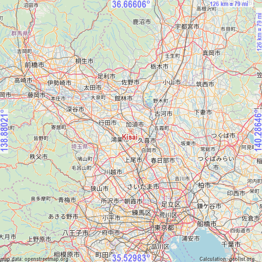
Kisai GPS coordinates[2]
36° 6' 0" North, 139° 34' 59.988" East
| Map corner | latitude | longitude |
|---|---|---|
| Upper-left | 36.66606°, | 138.88021° |
| Center: | 36.1°, | 139.58333° |
| Lower-right: | 35.52983°, | 140.28646° |
| Map W x H: | 126.3×126.3 km | = 78.5×78.5mi |
| max Lat: | 45.40944° ⇑30.5% North |
| Kisai: | 36.1° |
| min Lat: | ⇓69.5% South 24.34478° |
| min Long | Kisai | max Long |
| 123° | 139.58333° | 145.575° |
| W 71.1%⇐ | ⇒28.9% E |
Elevation
Elevation of Kisai is 16 m = 52 ft, and this is 68.6 m = 225 ft below average elevation for this country.
| Max E: |
1086 m = 3563 ft | 63.7% |
| Avg. | 84.6 m = 278 ft | |
| Kisai | 16 m = 52 ft | |
Min E: |
-2 m = -7 ft | 36.3% |
See also: Japan elevation on elevation.city.
Geographical zone
Kisai is located in North temperate zone (between Tropic of Cancer and the Arctic Circle). Distance of this Northern Tropic circle is 1408 km =874.9 mi to South.| Distance of | km | miles | from Kisai |
|---|---|---|---|
| North Pole | 5993.1 | 3723.9 | to North |
| Arctic Circle | 3387.2 | 2104.7 | to North |
| Tropic Cancer | 1408 | 874.9 | to South |
| Equator | 4013.9 | 2494.1 | to South |


Nearby cities:
15 places around Kisai: (largest is in red/bold)
• Ageoshimo
14.6 km =9.1 mi,  169°
169°
• Fukiage-fujimi
12 km =7.5 mi,  270°
270°
• Gyōda
12 km =7.5 mi,  292°
292°
• Hanyū
8.7 km =5.4 mi,  328°
328°
• Kazo
2.4 km =1.5 mi,  38°
38°
• Kitamoto
8.5 km =5.3 mi,  208°
208°
• Koga
15.1 km =9.4 mi,  52°
52°
• Kukichūō
9 km =5.6 mi,  113°
113°
• Kurihashi
11.1 km =6.9 mi,  70°
70°
• Kōnosu
6.9 km =4.3 mi,  239°
239°
• Okegawa
11.4 km =7.1 mi,  191°
191°
• Satte
13.2 km =8.2 mi,  103°
103°
• Shiraoka
11.4 km =7.1 mi,  142°
142°
• Shōbu
4 km =2.5 mi,  157°
157°
• Sugito
15 km =9.3 mi,  120°
120°
Sources, notices
• [Note1] Compared only with cities in Japan existing in our database
• [Src1] Map data: © OpenStreetMap contributors (CC-BY-SA)
• [Src2] Other city data from geonames.org with taken over terms of usage.
• [Src3] Geographical zone / Annual Mean Temperature by Robert A. Rohde @ Wikipedia
