Ijūin geodata
Ijūin (Kagoshima) is a populated place; located in Japan in Asia/Tokyo (GMT+9) time zone. With population of 25,217 people, there are 609 cities with bigger population in this country. Compared to other cities in Japan, 96.3% of cities are located further ↑North; 94.1% of cities are located further →East and 74.4% of cities have lower elevation than Ijūin. Note1


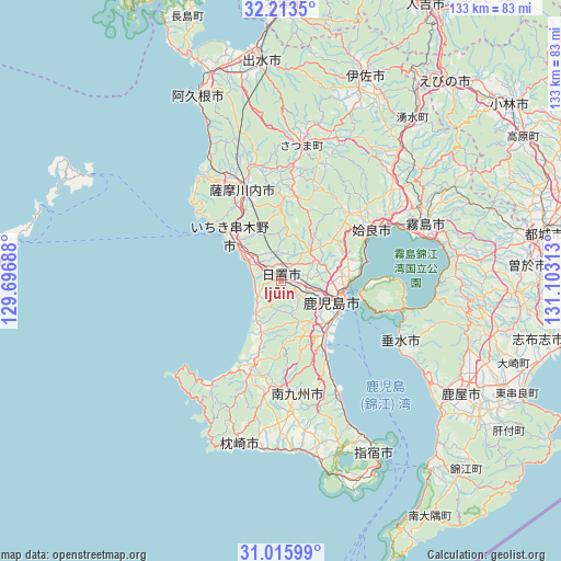
Ijūin GPS coordinates[2]
31° 37' 0.012" North, 130° 24' 0" East
| Map corner | latitude | longitude |
|---|---|---|
| Upper-left | 32.2135°, | 129.69688° |
| Center: | 31.61667°, | 130.4° |
| Lower-right: | 31.01599°, | 131.10313° |
| Map W x H: | 133.2×133.2 km | = 82.8×82.8mi |
| max Lat: | 45.40944° ⇑96.3% North |
| Ijūin: | 31.61667° |
| min Lat: | ⇓3.7% South 24.34478° |
| min Long | Ijūin | max Long |
| 123° | 130.4° | 145.575° |
| W 5.9%⇐ | ⇒94.1% E |
Elevation
Elevation of Ijūin is 93 m = 305 ft, and this is 8.4 m = 28 ft above average elevation for this country.
| Max E: |
1086 m = 3563 ft | 25.6% |
| Ijūin | 93 m 305 ft | |
| Avg. | 84.6 m = 278 ft | |
Min E: |
-2 m = -7 ft | 74.4% |
See also: Japan elevation on elevation.city.
Geographical zone
Ijūin is located in North temperate zone (between Tropic of Cancer and the Arctic Circle). Distance of this Northern Tropic circle is 909.5 km =565.1 mi to South.| Distance of | km | miles | from Ijūin |
|---|---|---|---|
| North Pole | 6491.6 | 4033.7 | to North |
| Arctic Circle | 3885.7 | 2414.5 | to North |
| Tropic Cancer | 909.5 | 565.1 | to South |
| Equator | 3515.4 | 2184.4 | to South |


Nearby cities:
15 places around Ijūin: (largest is in red/bold)
• Aira
25.2 km =15.7 mi,  46°
46°
• Hamanoichi
33.4 km =20.8 mi,  70°
70°
• Hioki
6 km =3.7 mi,  231°
231°
• Ichikikushikino
16.1 km =10 mi,  321°
321°
• Kagoshima
15.3 km =9.5 mi,  111°
111°
• Kajiki
28.4 km =17.6 mi,  62°
62°
• Kaseda-shirakame
23.6 km =14.7 mi,  199°
199°
• Kirishima
37 km =23 mi, 68°
• Kokubu-matsuki
37 km =23 mi, 69°
• Kushikino
16.8 km =10.4 mi,  311°
311°
• Makurazaki
39.7 km =24.7 mi,  191°
191°
• Minamikyushu
30.5 km =19 mi,  169°
169°
• Minamisatsuma
27.5 km =17.1 mi, 203°
• Satsumasendai
24.2 km =15 mi,  336°
336°
• Tarumizu
32.1 km =19.9 mi,  117°
117°
Sources, notices
• [Note1] Compared only with cities in Japan existing in our database
• [Src1] Map data: © OpenStreetMap contributors (CC-BY-SA)
• [Src2] Other city data from geonames.org with taken over terms of usage.
• [Src3] Geographical zone / Annual Mean Temperature by Robert A. Rohde @ Wikipedia
