Kuroishi geodata
Kuroishi (Aomori) is a populated place; located in Japan in Asia/Tokyo (GMT+9) time zone. With population of 38,615 people, there are 470 cities with bigger population in this country. Compared to other cities in Japan, 94.7% of cities are located further ↓South; 88.7% of cities are located further ←West and 59.6% of cities have lower elevation than Kuroishi. Note1


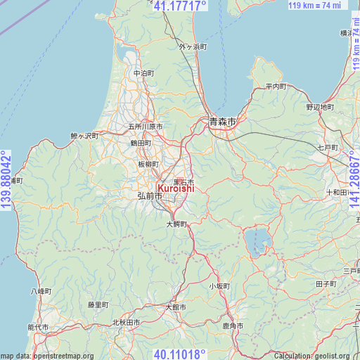
Kuroishi GPS coordinates[2]
40° 38' 44.916" North, 140° 35' 0.744" East
| Map corner | latitude | longitude |
|---|---|---|
| Upper-left | 41.17717°, | 139.88042° |
| Center: | 40.64581°, | 140.58354° |
| Lower-right: | 40.11018°, | 141.28667° |
| Map W x H: | 118.6×118.6 km | = 73.7×73.7mi |
| max Lat: | 45.40944° ⇑5.3% North |
| Kuroishi: | 40.64581° |
| min Lat: | ⇓94.7% South 24.34478° |
| min Long | Kuroishi | max Long |
| 123° | 140.58354° | 145.575° |
| W 88.7%⇐ | ⇒11.3% E |
Elevation
Elevation of Kuroishi is 45 m = 148 ft, and this is 39.6 m = 130 ft below average elevation for this country.
| Max E: |
1086 m = 3563 ft | 40.4% |
| Avg. | 84.6 m = 278 ft | |
| Kuroishi | 45 m = 148 ft | |
Min E: |
-2 m = -7 ft | 59.6% |
See also: Japan elevation on elevation.city.
Geographical zone
Kuroishi is located in North temperate zone (between Tropic of Cancer and the Arctic Circle). Distance of this Northern Tropic circle is 1913.5 km =1189 mi to South.| Distance of | km | miles | from Kuroishi |
|---|---|---|---|
| North Pole | 5487.7 | 3409.9 | to North |
| Arctic Circle | 2881.8 | 1790.7 | to North |
| Tropic Cancer | 1913.5 | 1189 | to South |
| Equator | 4519.4 | 2808.2 | to South |


Nearby cities:
15 places around Kuroishi: (largest is in red/bold)
• Aomori
22.8 km =14.2 mi,  33°
33°
• Furudate
62.3 km =38.7 mi,  101°
101°
• Goshogawara
21.3 km =13.2 mi,  325°
325°
• Hanawa
54.2 km =33.7 mi,  161°
161°
• Hirakawa
6.6 km =4.1 mi,  189°
189°
• Hirosaki
11.1 km =6.9 mi,  237°
237°
• Kazuno
51.5 km =32 mi, 160°
• Kita-Akita
52.2 km =32.4 mi,  197°
197°
• Kuroishi
10.7 km =6.6 mi,  108°
108°
• Namioka
7.2 km =4.5 mi,  4°
4°
• Shimokizukuri
25.8 km =16 mi,  317°
317°
• Takanosu
50.5 km =31.4 mi, 201°
• Towada
53 km =32.9 mi,  93°
93°
• Tsugaru
23.2 km =14.4 mi, 319°
• Ōdate
41.6 km =25.8 mi,  183°
183°
Sources, notices
• [Note1] Compared only with cities in Japan existing in our database
• [Src1] Map data: © OpenStreetMap contributors (CC-BY-SA)
• [Src2] Other city data from geonames.org with taken over terms of usage.
• [Src3] Geographical zone / Annual Mean Temperature by Robert A. Rohde @ Wikipedia
