Kōshi geodata
Kōshi (Kumamoto) is a seat of a second-order administrative division; located in Japan in Asia/Tokyo (GMT+9) time zone. In our database, there are 767 cities with bigger population. Compared to other cities in Japan, 91.9% of cities are located further ↑North; 88.4% of cities are located further →East and 69.8% of cities have lower elevation than Kōshi. Note1


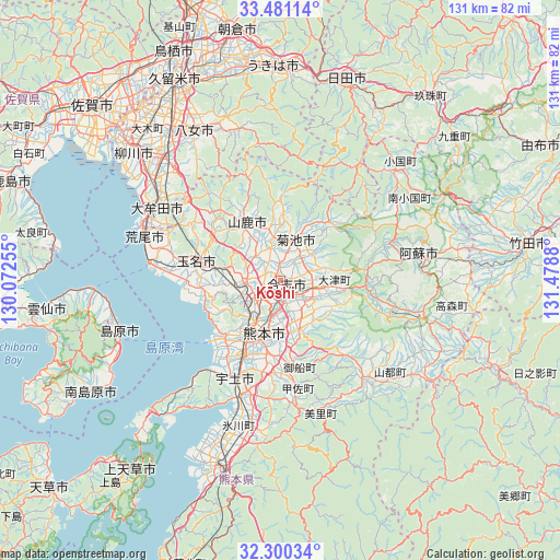
Kōshi GPS coordinates[2]
32° 53' 33.756" North, 130° 46' 32.412" East
| Map corner | latitude | longitude |
|---|---|---|
| Upper-left | 33.48114°, | 130.07255° |
| Center: | 32.89271°, | 130.77567° |
| Lower-right: | 32.30034°, | 131.4788° |
| Map W x H: | 131.3×131.3 km | = 81.6×81.6mi |
| max Lat: | 45.40944° ⇑91.9% North |
| Kōshi: | 32.89271° |
| min Lat: | ⇓8.1% South 24.34478° |
| min Long | Kōshi | max Long |
| 123° | 130.77567° | 145.575° |
| W 11.6%⇐ | ⇒88.4% E |
Elevation
Elevation of Kōshi is 71 m = 233 ft, and this is 13.6 m = 45 ft below average elevation for this country.
| Max E: |
1086 m = 3563 ft | 30.2% |
| Avg. | 84.6 m = 278 ft | |
| Kōshi | 71 m = 233 ft | |
Min E: |
-2 m = -7 ft | 69.8% |
See also: Japan elevation on elevation.city.
Geographical zone
Kōshi is located in North temperate zone (between Tropic of Cancer and the Arctic Circle). Distance of this Northern Tropic circle is 1051.4 km =653.3 mi to South.| Distance of | km | miles | from Kōshi |
|---|---|---|---|
| North Pole | 6349.7 | 3945.5 | to North |
| Arctic Circle | 3743.8 | 2326.3 | to North |
| Tropic Cancer | 1051.4 | 653.3 | to South |
| Equator | 3657.3 | 2272.5 | to South |


Nearby cities:
15 places around Kōshi: (largest is in red/bold)
• Arao
32.2 km =20 mi,  287°
287°
• Aso
28.8 km =17.9 mi,  80°
80°
• Kikuchi
10.8 km =6.7 mi,  20°
20°
• Kumamoto
12.4 km =7.7 mi,  219°
219°
• Matsubase
28.8 km =17.9 mi,  200°
200°
• Miyama
36.1 km =22.4 mi,  314°
314°
• Tamana
19.7 km =12.2 mi, 287°
• Uekimachi-mōno
8.1 km =5 mi,  275°
275°
• Uki
31.9 km =19.8 mi, 199°
• Uto
25.4 km =15.8 mi, 203°
• Yamaga
16 km =9.9 mi,  329°
329°
• Yame
39.1 km =24.3 mi,  342°
342°
• Yatsushiro
39 km =24.2 mi, 197°
• Ōmuta
34.2 km =21.3 mi,  297°
297°
• Ōzu
9.1 km =5.7 mi,  98°
98°
Sources, notices
• [Note1] Compared only with cities in Japan existing in our database
• [Src1] Map data: © OpenStreetMap contributors (CC-BY-SA)
• [Src2] Other city data from geonames.org with taken over terms of usage.
• [Src3] Geographical zone / Annual Mean Temperature by Robert A. Rohde @ Wikipedia
