Shimoni geodata
Shimoni (Kwale) is a populated place; located in Kenya in Africa/Nairobi (GMT+3) time zone. With population of 2,374 people, there are 104 cities with bigger population in this country. Compared to other cities in Kenya, 100% of cities are located further ↑North; 86.8% of cities are located further ←West and 98.2% of cities have higher elevation than Shimoni. Note1


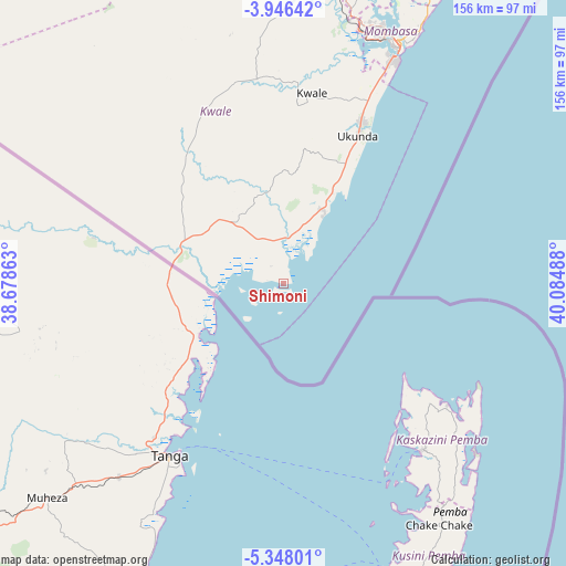
Shimoni GPS coordinates[2]
4° 38' 51.216" South, 39° 22' 54.3" East
| Map corner | latitude | longitude |
|---|---|---|
| Upper-left | -3.94642°, | 38.67863° |
| Center: | -4.64756°, | 39.38175° |
| Lower-right: | -5.34801°, | 40.08488° |
| Map W x H: | 155.8×155.8 km | = 96.8×96.8mi |
| max Lat: | 3.93726° ⇑100% North |
| Shimoni: | -4.64756° |
| min Lat: | ⇓0% South -4.64756° |
| min Long | Shimoni | max Long |
| 33.97248° | 39.38175° | 41.85688° |
| W 86.8%⇐ | ⇒13.2% E |
Elevation
Elevation of Shimoni is 8 m = 26 ft, and this is 1338.7 m = 4392 ft below average elevation for this country.
| Max E: |
2514 m = 8248 ft | 98.2% |
| Avg. | 1346.7 m = 4418 ft | |
| Shimoni | 8 m = 26 ft | |
Min E: |
7 m = 23 ft | 1.8% |
See also: Kenya elevation on elevation.city.
Geographical zone
Shimoni is located in South Torrid zone (between Equator and Tropic of Capricorn). Distance of Equator is 516.8 km =321.1 mi to North.| Distance of | km | miles | from Shimoni |
|---|---|---|---|
| Equator | 516.8 | 321.1 | to North |
| Tropic Capricorn | 2089.2 | 1298.2 | to South |
| Antarctic Circle | 6884.4 | 4277.8 | to South |
| South Pole | 9490.3 | 5897 | to South |


Nearby cities:
15 places around Shimoni: (largest is in red/bold)
• Gazi
28.4 km =17.6 mi,  28°
28°
• Kilifi
124.4 km =77.3 mi,  24°
24°
• Kinango
57.2 km =35.5 mi,  352°
352°
• Kipini
267.9 km =166.5 mi, 28°
• Kwale
53.3 km =33.1 mi,  8°
8°
• Malindi
178.7 km =111 mi, 27°
• Mariakani
87.9 km =54.6 mi, 6°
• Mombasa
73 km =45.4 mi, 25°
• Mtito Andei
256 km =159.1 mi,  328°
328°
• Mwatate
169 km =105 mi,  318°
318°
• Sawa Sawa
22.6 km =14 mi, 30°
• Takaungu
119.4 km =74.2 mi, 26°
• Taveta
234 km =145.4 mi,  306°
306°
• Voi
166.6 km =103.5 mi, 326°
• Wundanyi
179.6 km =111.6 mi, 320°
Sources, notices
• [Note1] Compared only with cities in Kenya existing in our database
• [Src1] Map data: © OpenStreetMap contributors (CC-BY-SA)
• [Src2] Other city data from geonames.org with taken over terms of usage.
• [Src3] Geographical zone / Annual Mean Temperature by Robert A. Rohde @ Wikipedia
