Keispelt geodata
Keispelt (Capellen) is a populated place; located in Luxembourg in Europe/Luxembourg (GMT+2) time zone. With population of 567 people, there are 142 cities with bigger population in this country. Compared to other cities in Luxembourg, 58.2% of cities are located further ↓South; 58.8% of cities are located further →East and 92.1% of cities have lower elevation than Keispelt. Note1


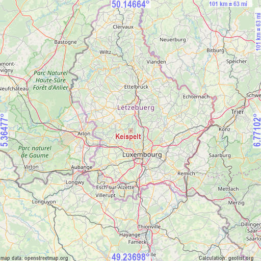
Keispelt GPS coordinates[2]
49° 41' 38.184" North, 6° 4' 4.404" East
| Map corner | latitude | longitude |
|---|---|---|
| Upper-left | 50.14664°, | 5.36477° |
| Center: | 49.69394°, | 6.06789° |
| Lower-right: | 49.23698°, | 6.77102° |
| Map W x H: | 101.1×101.1 km | = 62.8×62.8mi |
| max Lat: | 50.13722° ⇑41.8% North |
| Keispelt: | 49.69394° |
| min Lat: | ⇓58.2% South 49.45964° |
| min Long | Keispelt | max Long |
| 5.76583° | 6.06789° | 6.50532° |
| W 41.2%⇐ | ⇒58.8% E |
Elevation
Elevation of Keispelt is 376 m = 1234 ft, and this is 94 m = 308 ft above average elevation for this country.
| Max E: |
502 m = 1647 ft | 7.9% |
| Keispelt | 376 m 1234 ft | |
| Avg. | 282 m = 925 ft | |
Min E: |
143 m = 469 ft | 92.1% |
See also: Luxembourg elevation on elevation.city.
Geographical zone
Keispelt is located in North temperate zone (between Tropic of Cancer and the Arctic Circle). Distance of this North polar circle is 1875.7 km =1165.5 mi to North.| Distance of | km | miles | from Keispelt |
|---|---|---|---|
| North Pole | 4481.6 | 2784.7 | to North |
| Arctic Circle | 1875.7 | 1165.5 | to North |
| Tropic Cancer | 2919.5 | 1814.1 | to South |
| Equator | 5525.4 | 3433.3 | to South |


Nearby cities:
15 places around Keispelt: (largest is in red/bold)
• Bofferdange
5.2 km =3.2 mi,  94°
94°
• Bridel
4.3 km =2.7 mi,  168°
168°
• Brouch
5.7 km =3.5 mi,  325°
325°
• Béreldange
5.7 km =3.5 mi,  139°
139°
• Heisdorf
5.9 km =3.7 mi,  114°
114°
• Helmdange
5.3 km =3.3 mi, 90°
• Kehlen
3.7 km =2.3 mi,  219°
219°
• Kopstal
3.3 km =2.1 mi, 173°
• Lintgen
5.5 km =3.4 mi,  54°
54°
• Lorentzweiler
5.4 km =3.4 mi,  81°
81°
• Müllendorf
4.7 km =2.9 mi, 108°
• Nospelt
4.7 km =2.9 mi,  243°
243°
• Steinsel
4.4 km =2.7 mi,  115°
115°
• Tuntange
4.9 km =3 mi,  302°
302°
• Walferdange
5.8 km =3.6 mi,  126°
126°
Sources, notices
• [Note1] Compared only with cities in Luxembourg existing in our database
• [Src1] Map data: © OpenStreetMap contributors (CC-BY-SA)
• [Src2] Other city data from geonames.org with taken over terms of usage.
• [Src3] Geographical zone / Annual Mean Temperature by Robert A. Rohde @ Wikipedia
