Flaxweiler geodata
Flaxweiler (Grevenmacher) is a seat of a third-order administrative division; located in Luxembourg in Europe/Luxembourg (GMT+2) time zone. With population of 358 people, there are 159 cities with bigger population in this country. Compared to other cities in Luxembourg, 50.8% of cities are located further ↓South; 87% of cities are located further ←West and 65.5% of cities have higher elevation than Flaxweiler. Note1


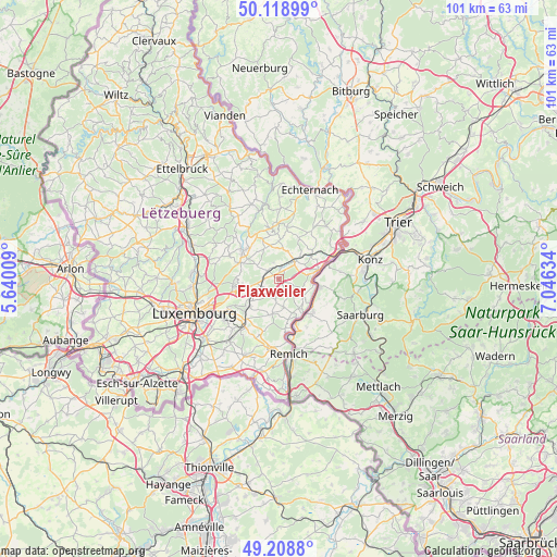
Flaxweiler GPS coordinates[2]
49° 39' 57.672" North, 6° 20' 35.556" East
| Map corner | latitude | longitude |
|---|---|---|
| Upper-left | 50.11899°, | 5.64009° |
| Center: | 49.66602°, | 6.34321° |
| Lower-right: | 49.2088°, | 7.04634° |
| Map W x H: | 101.2×101.2 km | = 62.9×62.9mi |
| max Lat: | 50.13722° ⇑49.2% North |
| Flaxweiler: | 49.66602° |
| min Lat: | ⇓50.8% South 49.45964° |
| min Long | Flaxweiler | max Long |
| 5.76583° | 6.34321° | 6.50532° |
| W 87%⇐ | ⇒13% E |
Elevation
Elevation of Flaxweiler is 260 m = 853 ft, and this is 22 m = 72 ft below average elevation for this country.
| Max E: |
502 m = 1647 ft | 65.5% |
| Avg. | 282 m = 925 ft | |
| Flaxweiler | 260 m = 853 ft | |
Min E: |
143 m = 469 ft | 34.5% |
See also: Luxembourg elevation on elevation.city.
Geographical zone
Flaxweiler is located in North temperate zone (between Tropic of Cancer and the Arctic Circle). Distance of this North polar circle is 1878.8 km =1167.4 mi to North.| Distance of | km | miles | from Flaxweiler |
|---|---|---|---|
| North Pole | 4484.7 | 2786.7 | to North |
| Arctic Circle | 1878.8 | 1167.4 | to North |
| Tropic Cancer | 2916.4 | 1812.2 | to South |
| Equator | 5522.3 | 3431.4 | to South |


Nearby cities:
15 places around Flaxweiler: (largest is in red/bold)
• Betzdorf
2 km =1.2 mi,  14°
14°
• Biwer
4.9 km =3 mi,  24°
24°
• Canach
6.7 km =4.2 mi,  190°
190°
• Grevenmacher
7.1 km =4.4 mi,  79°
79°
• Lenningen
7.5 km =4.7 mi,  166°
166°
• Manternach
7.2 km =4.5 mi,  55°
55°
• Mensdorf
3.1 km =1.9 mi,  245°
245°
• Münsbach
6.8 km =4.2 mi,  236°
236°
• Niederanven
6.1 km =3.8 mi,  255°
255°
• Oberanven
7.3 km =4.5 mi, 262°
• Roodt-sur-Syre
2.9 km =1.8 mi,  269°
269°
• Schuttrange
7.4 km =4.6 mi,  226°
226°
• Uebersyren
6.1 km =3.8 mi, 231°
• Wecker
4.4 km =2.7 mi,  43°
43°
• Wormeldange
7.6 km =4.7 mi,  143°
143°
Sources, notices
• [Note1] Compared only with cities in Luxembourg existing in our database
• [Src1] Map data: © OpenStreetMap contributors (CC-BY-SA)
• [Src2] Other city data from geonames.org with taken over terms of usage.
• [Src3] Geographical zone / Annual Mean Temperature by Robert A. Rohde @ Wikipedia
