Grevenmacher geodata
Grevenmacher is a seat of a first-order administrative division; located in Luxembourg in Europe/Luxembourg (GMT+2) time zone. With population of 3,958 people, there are 20 cities with bigger population in this country. Compared to other cities in Luxembourg, 54.2% of cities are located further ↓South; 97.2% of cities are located further ←West and 100% of cities have higher elevation than Grevenmacher. Note1


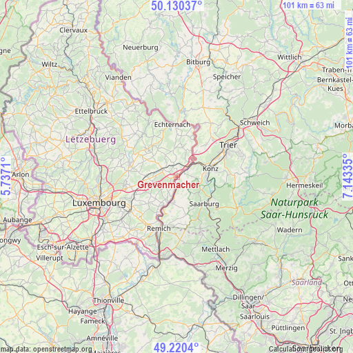
Grevenmacher GPS coordinates[2]
49° 40' 39.036" North, 6° 26' 24.792" East
| Map corner | latitude | longitude |
|---|---|---|
| Upper-left | 50.13037°, | 5.7371° |
| Center: | 49.67751°, | 6.44022° |
| Lower-right: | 49.2204°, | 7.14335° |
| Map W x H: | 101.2×101.2 km | = 62.9×62.9mi |
| max Lat: | 50.13722° ⇑45.8% North |
| Grevenmacher: | 49.67751° |
| min Lat: | ⇓54.2% South 49.45964° |
| min Long | Grevenmacher | max Long |
| 5.76583° | 6.44022° | 6.50532° |
| W 97.2%⇐ | ⇒2.8% E |
Elevation
Elevation of Grevenmacher is 143 m = 469 ft, and this is 139 m = 456 ft below average elevation for this country.
| Max E: |
502 m = 1647 ft | 100% |
| Avg. | 282 m = 925 ft | |
| Grevenmacher | 143 m = 469 ft | |
Min E: |
143 m = 469 ft | 0% |
See also: Luxembourg elevation on elevation.city.
Geographical zone
Grevenmacher is located in North temperate zone (between Tropic of Cancer and the Arctic Circle). Distance of this North polar circle is 1877.6 km =1166.7 mi to North.| Distance of | km | miles | from Grevenmacher |
|---|---|---|---|
| North Pole | 4483.4 | 2785.9 | to North |
| Arctic Circle | 1877.6 | 1166.7 | to North |
| Tropic Cancer | 2917.7 | 1813 | to South |
| Equator | 5523.6 | 3432.2 | to South |


Nearby cities:
15 places around Grevenmacher: (largest is in red/bold)
• Bech
10 km =6.2 mi,  326°
326°
• Berbourg
6.8 km =4.2 mi, 330°
• Betzdorf
6.5 km =4 mi,  275°
275°
• Biwer
5.8 km =3.6 mi,  302°
302°
• Ehnen
9.3 km =5.8 mi,  204°
204°
• Flaxweiler
7.1 km =4.4 mi,  259°
259°
• Lenningen
10.1 km =6.3 mi,  211°
211°
• Manternach
3 km =1.9 mi,  340°
340°
• Mensdorf
10.1 km =6.3 mi, 255°
• Mertert
4 km =2.5 mi,  45°
45°
• Mompach
7.8 km =4.8 mi,  13°
13°
• Roodt-sur-Syre
10 km =6.2 mi, 262°
• Wasserbillig
5.9 km =3.7 mi,  44°
44°
• Wecker
4.4 km =2.7 mi, 295°
• Wormeldange
7.8 km =4.8 mi, 198°
Sources, notices
• [Note1] Compared only with cities in Luxembourg existing in our database
• [Src1] Map data: © OpenStreetMap contributors (CC-BY-SA)
• [Src2] Other city data from geonames.org with taken over terms of usage.
• [Src3] Geographical zone / Annual Mean Temperature by Robert A. Rohde @ Wikipedia
