Subate geodata
Subate (Daugavpils municipality) is a populated place; located in Latvia in Europe/Riga (GMT+3) time zone. With population of 908 people, there are 101 cities with bigger population in this country. Compared to other cities in Latvia, 97.1% of cities are located further ↑North; 78.6% of cities are located further ←West and 89.3% of cities have lower elevation than Subate. Note1


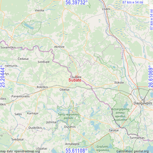
Subate GPS coordinates[2]
56° 0' 22.32" North, 25° 54' 27.216" East
| Map corner | latitude | longitude |
|---|---|---|
| Upper-left | 56.39732°, | 25.20444° |
| Center: | 56.0062°, | 25.90756° |
| Lower-right: | 55.61108°, | 26.61069° |
| Map W x H: | 87.4×87.4 km | = 54.3×54.3mi |
| max Lat: | 57.89752° ⇑97.1% North |
| Subate: | 56.0062° |
| min Lat: | ⇓2.9% South 55.75284° |
| min Long | Subate | max Long |
| 21.01085° | 25.90756° | 28.12165° |
| W 78.6%⇐ | ⇒21.4% E |
Elevation
Elevation of Subate is 129 m = 423 ft, and this is 63.6 m = 209 ft above average elevation for this country.
| Max E: |
212 m = 696 ft | 10.7% |
| Subate | 129 m 423 ft | |
| Avg. | 65.4 m = 215 ft | |
Min E: |
2 m = 7 ft | 89.3% |
See also: Latvia elevation on elevation.city.
Geographical zone
Subate is located in North temperate zone (between Tropic of Cancer and the Arctic Circle). Distance of this North polar circle is 1173.9 km =729.4 mi to North.| Distance of | km | miles | from Subate |
|---|---|---|---|
| North Pole | 3779.8 | 2348.7 | to North |
| Arctic Circle | 1173.9 | 729.4 | to North |
| Tropic Cancer | 3621.4 | 2250.2 | to South |
| Equator | 6227.3 | 3869.5 | to South |


Nearby cities:
15 places around Subate: (largest is in red/bold)
• Aglona
69.7 km =43.3 mi,  78°
78°
• Aknīste
19.9 km =12.4 mi,  330°
330°
• Daugavpils
41.3 km =25.7 mi,  109°
109°
• Ilūkste
24.4 km =15.2 mi,  97°
97°
• Jēkabpils
54.9 km =34.1 mi,  356°
356°
• Krustpils
56.2 km =34.9 mi, 357°
• Līvāni
42.1 km =26.2 mi,  23°
23°
• Nereta
43.2 km =26.8 mi,  300°
300°
• Preiļi
59.9 km =37.2 mi,  57°
57°
• Pļaviņas
68.9 km =42.8 mi,  350°
350°
• Riebiņi
66.7 km =41.4 mi, 55°
• Sala
56.4 km =35 mi, 350°
• Silene
61.6 km =38.3 mi,  117°
117°
• Vecvārkava
42.9 km =26.7 mi, 60°
• Viesīte
43.8 km =27.2 mi, 330°
Sources, notices
• [Note1] Compared only with cities in Latvia existing in our database
• [Src1] Map data: © OpenStreetMap contributors (CC-BY-SA)
• [Src2] Other city data from geonames.org with taken over terms of usage.
• [Src3] Geographical zone / Annual Mean Temperature by Robert A. Rohde @ Wikipedia
