Silene geodata
Silene (Daugavpils municipality) is a populated place; located in Latvia in Europe/Riga (GMT+3) time zone. With population of 821 people, there are 103 cities with bigger population in this country. Compared to other cities in Latvia, 100% of cities are located further ↑North; 88.6% of cities are located further ←West and 94.3% of cities have lower elevation than Silene. Note1


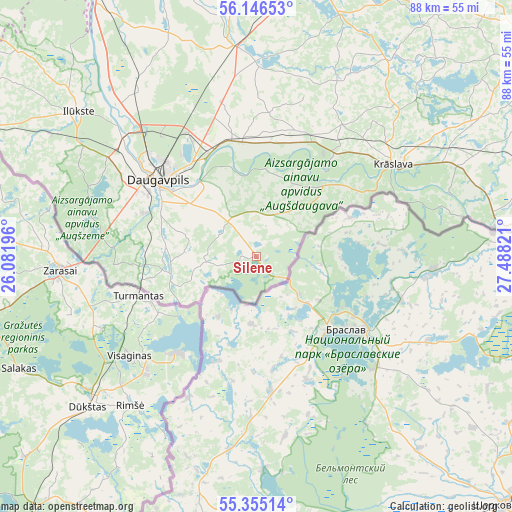
Silene GPS coordinates[2]
55° 45' 10.224" North, 26° 47' 6.288" East
| Map corner | latitude | longitude |
|---|---|---|
| Upper-left | 56.14653°, | 26.08196° |
| Center: | 55.75284°, | 26.78508° |
| Lower-right: | 55.35514°, | 27.48821° |
| Map W x H: | 88×88 km | = 54.7×54.7mi |
| max Lat: | 57.89752° ⇑100% North |
| Silene: | 55.75284° |
| min Lat: | ⇓0% South 55.75284° |
| min Long | Silene | max Long |
| 21.01085° | 26.78508° | 28.12165° |
| W 88.6%⇐ | ⇒11.4% E |
Elevation
Elevation of Silene is 154 m = 505 ft, and this is 88.6 m = 291 ft above average elevation for this country.
| Max E: |
212 m = 696 ft | 5.7% |
| Silene | 154 m 505 ft | |
| Avg. | 65.4 m = 215 ft | |
Min E: |
2 m = 7 ft | 94.3% |
See also: Latvia elevation on elevation.city.
Geographical zone
Silene is located in North temperate zone (between Tropic of Cancer and the Arctic Circle). Distance of this North polar circle is 1202 km =746.9 mi to North.| Distance of | km | miles | from Silene |
|---|---|---|---|
| North Pole | 3807.9 | 2366.1 | to North |
| Arctic Circle | 1202 | 746.9 | to North |
| Tropic Cancer | 3593.2 | 2232.7 | to South |
| Equator | 6199.1 | 3851.9 | to South |


Nearby cities:
15 places around Silene: (largest is in red/bold)
• Aglona
44.4 km =27.6 mi,  18°
18°
• Aknīste
79 km =49.1 mi,  305°
305°
• Dagda
60.4 km =37.5 mi,  50°
50°
• Daugavpils
21.4 km =13.3 mi, 312°
• Ilūkste
39.4 km =24.5 mi, 309°
• Jaunaglona
47.4 km =29.5 mi, 16°
• Krāslava
28.7 km =17.8 mi,  56°
56°
• Līvāni
76.8 km =47.7 mi,  330°
330°
• Preiļi
60.3 km =37.5 mi,  356°
356°
• Riebiņi
65.6 km =40.8 mi,  0°
0°
• Rēzekne
91 km =56.5 mi, 22°
• Subate
61.6 km =38.3 mi,  297°
297°
• Varakļāni
95.1 km =59.1 mi, 358°
• Vecvārkava
52.5 km =32.6 mi,  340°
340°
• Viļāni
89.3 km =55.5 mi,  5°
5°
Sources, notices
• [Note1] Compared only with cities in Latvia existing in our database
• [Src1] Map data: © OpenStreetMap contributors (CC-BY-SA)
• [Src2] Other city data from geonames.org with taken over terms of usage.
• [Src3] Geographical zone / Annual Mean Temperature by Robert A. Rohde @ Wikipedia
