Kocēni geodata
Kocēni is a seat of a first-order administrative division; located in Latvia in Europe/Riga (GMT+3) time zone. In our database, there are 110 cities with bigger population. Compared to other cities in Latvia, 90.7% of cities are located further ↓South; 65.7% of cities are located further ←West and 52.9% of cities have lower elevation than Kocēni. Note1


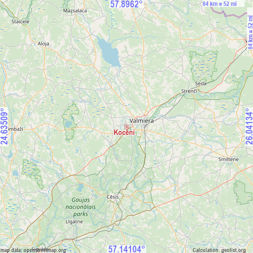
Kocēni GPS coordinates[2]
57° 31' 14.052" North, 25° 20' 17.556" East
| Map corner | latitude | longitude |
|---|---|---|
| Upper-left | 57.8962°, | 24.63509° |
| Center: | 57.52057°, | 25.33821° |
| Lower-right: | 57.14104°, | 26.04134° |
| Map W x H: | 84×84 km | = 52.2×52.2mi |
| max Lat: | 57.89752° ⇑9.3% North |
| Kocēni: | 57.52057° |
| min Lat: | ⇓90.7% South 55.75284° |
| min Long | Kocēni | max Long |
| 21.01085° | 25.33821° | 28.12165° |
| W 65.7%⇐ | ⇒34.3% E |
Elevation
Elevation of Kocēni is 62 m = 203 ft, and this is 3.4 m = 11 ft below average elevation for this country.
| Max E: |
212 m = 696 ft | 47.1% |
| Avg. | 65.4 m = 215 ft | |
| Kocēni | 62 m = 203 ft | |
Min E: |
2 m = 7 ft | 52.9% |
See also: Latvia elevation on elevation.city.
Geographical zone
Kocēni is located in North temperate zone (between Tropic of Cancer and the Arctic Circle). Distance of this North polar circle is 1005.5 km =624.8 mi to North.| Distance of | km | miles | from Kocēni |
|---|---|---|---|
| North Pole | 3611.4 | 2244 | to North |
| Arctic Circle | 1005.5 | 624.8 | to North |
| Tropic Cancer | 3789.8 | 2354.9 | to South |
| Equator | 6395.7 | 3974.1 | to South |


Nearby cities:
15 places around Kocēni: (largest is in red/bold)
• Aloja
38.8 km =24.1 mi,  315°
315°
• Cēsis
23.5 km =14.6 mi,  189°
189°
• Drabeši
31.1 km =19.3 mi, 186°
• Limbaži
37 km =23 mi,  268°
268°
• Līgatne
36.5 km =22.7 mi,  209°
209°
• Matīši
22.5 km =14 mi,  331°
331°
• Mūrmuiža
10.6 km =6.6 mi,  119°
119°
• Naukšēni
41 km =25.5 mi,  9°
9°
• Priekuļi
22.9 km =14.2 mi,  176°
176°
• Rauna
26.5 km =16.5 mi,  142°
142°
• Seda
28.5 km =17.7 mi,  59°
59°
• Smiltene
35.3 km =21.9 mi,  107°
107°
• Stalbe
24.8 km =15.4 mi,  227°
227°
• Strenči
23.8 km =14.8 mi, 60°
• Valmiera
5.8 km =3.6 mi,  66°
66°
Sources, notices
• [Note1] Compared only with cities in Latvia existing in our database
• [Src1] Map data: © OpenStreetMap contributors (CC-BY-SA)
• [Src2] Other city data from geonames.org with taken over terms of usage.
• [Src3] Geographical zone / Annual Mean Temperature by Robert A. Rohde @ Wikipedia
