Tmourghout geodata
Tmourghout (Fès-Meknès) is a populated place; located in Morocco in Africa/Casablanca (GMT+1) time zone. With population of 1,250 people, there are 104 cities with bigger population in this country. Compared to other cities in Morocco, 63.2% of cities are located further ↓South; 86.4% of cities are located further ←West and 69.4% of cities have lower elevation than Tmourghout. Note1


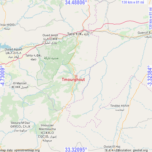
Tmourghout GPS coordinates[2]
33° 54' 23.4" North, 4° 1' 37.056" West
| Map corner | latitude | longitude |
|---|---|---|
| Upper-left | 34.48806°, | -4.73009° |
| Center: | 33.9065°, | -4.02696° |
| Lower-right: | 33.32095°, | -3.32384° |
| Map W x H: | 129.8×129.8 km | = 80.7×80.7mi |
| max Lat: | 35.84906° ⇑36.8% North |
| Tmourghout: | 33.9065° |
| min Lat: | ⇓63.2% South 22.6558° |
| min Long | Tmourghout | max Long |
| -15.60719° | -4.02696° | -1.22855° |
| W 86.4%⇐ | ⇒13.6% E |
Elevation
Elevation of Tmourghout is 899 m = 2949 ft, and this is 282.2 m = 926 ft above average elevation for this country.
| Max E: |
2637 m = 8652 ft | 30.6% |
| Tmourghout | 899 m 2949 ft | |
| Avg. | 616.8 m = 2024 ft | |
Min E: |
1 m = 3 ft | 69.4% |
See also: Morocco elevation on elevation.city.
Geographical zone
Tmourghout is located in North temperate zone (between Tropic of Cancer and the Arctic Circle). Distance of this Northern Tropic circle is 1164.1 km =723.3 mi to South.| Distance of | km | miles | from Tmourghout |
|---|---|---|---|
| North Pole | 6237 | 3875.5 | to North |
| Arctic Circle | 3631.1 | 2256.3 | to North |
| Tropic Cancer | 1164.1 | 723.3 | to South |
| Equator | 3770 | 2342.6 | to South |


Nearby cities:
15 places around Tmourghout: (largest is in red/bold)
• Aknoul
84.4 km =52.4 mi,  9°
9°
• Almis Marmoucha
66.7 km =41.4 mi,  192°
192°
• Bhalil
78.3 km =48.7 mi,  265°
265°
• Guercif
71.5 km =44.4 mi,  60°
60°
• Matmata
52.9 km =32.9 mi,  293°
293°
• Oued Amlil
40.1 km =24.9 mi,  324°
324°
• Oulad Daoud
82.6 km =51.3 mi,  312°
312°
• Sefrou
74.4 km =46.2 mi,  263°
263°
• Sidi Harazem
80.1 km =49.8 mi,  279°
279°
• Tahla
39.7 km =24.7 mi, 293°
• Talzemt
38.3 km =23.8 mi,  203°
203°
• Taza
33.8 km =21 mi,  2°
2°
• Tazarine
14.9 km =9.3 mi, 259°
• Tazouta
62 km =38.5 mi,  244°
244°
• Tissa
72.4 km =45 mi, 305°
Sources, notices
• [Note1] Compared only with cities in Morocco existing in our database
• [Src1] Map data: © OpenStreetMap contributors (CC-BY-SA)
• [Src2] Other city data from geonames.org with taken over terms of usage.
• [Src3] Geographical zone / Annual Mean Temperature by Robert A. Rohde @ Wikipedia
