Bouarouss geodata
Bouarouss (Fès-Meknès) is a seat of a third-order administrative division; located in Morocco in Africa/Casablanca (GMT+1) time zone. In our database, there are 108 cities with bigger population. Compared to other cities in Morocco, 71.7% of cities are located further ↓South; 76.4% of cities are located further ←West and 67.4% of cities have higher elevation than Bouarouss. Note1


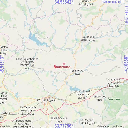
Bouarouss GPS coordinates[2]
34° 21' 36" North, 4° 48' 36" West
| Map corner | latitude | longitude |
|---|---|---|
| Upper-left | 34.93842°, | -5.51313° |
| Center: | 34.36°, | -4.81° |
| Lower-right: | 33.77756°, | -4.10688° |
| Map W x H: | 129.1×129.1 km | = 80.2×80.2mi |
| max Lat: | 35.84906° ⇑28.3% North |
| Bouarouss: | 34.36° |
| min Lat: | ⇓71.7% South 22.6558° |
| min Long | Bouarouss | max Long |
| -15.60719° | -4.81° | -1.22855° |
| W 76.4%⇐ | ⇒23.6% E |
Elevation
Elevation of Bouarouss is 247 m = 810 ft, and this is 369.8 m = 1213 ft below average elevation for this country.
| Max E: |
2637 m = 8652 ft | 67.4% |
| Avg. | 616.8 m = 2024 ft | |
| Bouarouss | 247 m = 810 ft | |
Min E: |
1 m = 3 ft | 32.6% |
See also: Morocco elevation on elevation.city.
Geographical zone
Bouarouss is located in North temperate zone (between Tropic of Cancer and the Arctic Circle). Distance of this Northern Tropic circle is 1214.6 km =754.7 mi to South.| Distance of | km | miles | from Bouarouss |
|---|---|---|---|
| North Pole | 6186.6 | 3844.2 | to North |
| Arctic Circle | 3580.7 | 2224.9 | to North |
| Tropic Cancer | 1214.6 | 754.7 | to South |
| Equator | 3820.5 | 2373.9 | to South |


Nearby cities:
15 places around Bouarouss: (largest is in red/bold)
• Fès
40.3 km =25 mi,  205°
205°
• Fès al Bali
34.9 km =21.7 mi,  202°
202°
• Galaz
20.5 km =12.7 mi,  1°
1°
• Ghouazi
47 km =29.2 mi,  286°
286°
• Karia Ba Mohamed
37.1 km =23.1 mi,  271°
271°
• Matmata
37.5 km =23.3 mi,  140°
140°
• Moulay Bouchta
32.7 km =20.3 mi,  296°
296°
• Moulay Yacoub
45.6 km =28.3 mi,  228°
228°
• Oulad Daoud
11.8 km =7.3 mi,  65°
65°
• Ourtzagh
24.3 km =15.1 mi,  323°
323°
• Ratba
47.9 km =29.8 mi,  345°
345°
• Sidi Harazem
37.6 km =23.4 mi,  190°
190°
• Taounate
25.1 km =15.6 mi,  38°
38°
• Timezgana
25.5 km =15.8 mi,  16°
16°
• Tissa
15.6 km =9.7 mi,  120°
120°
Sources, notices
• [Note1] Compared only with cities in Morocco existing in our database
• [Src1] Map data: © OpenStreetMap contributors (CC-BY-SA)
• [Src2] Other city data from geonames.org with taken over terms of usage.
• [Src3] Geographical zone / Annual Mean Temperature by Robert A. Rohde @ Wikipedia
