Hovd geodata
Hovd (Övörhangay) is a populated place; located in Mongolia in Asia/Ulaanbaatar (GMT+8) time zone. With population of 27,924 people, there are 6 cities with bigger population in this country. Compared to other cities in Mongolia, 92.6% of cities are located further ↑North; 53.4% of cities are located further →East and 65% of cities have lower elevation than Hovd. Note1


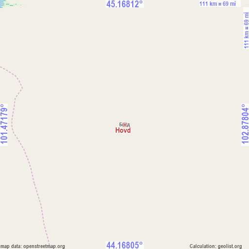
Hovd GPS coordinates[2]
44° 40' 12.864" North, 102° 10' 29.676" East
| Map corner | latitude | longitude |
|---|---|---|
| Upper-left | 45.16812°, | 101.47179° |
| Center: | 44.67024°, | 102.17491° |
| Lower-right: | 44.16805°, | 102.87804° |
| Map W x H: | 111.2×111.2 km | = 69.1×69.1mi |
| max Lat: | 51.50725° ⇑92.6% North |
| Hovd: | 44.67024° |
| min Lat: | ⇓7.4% South 42.84199° |
| min Long | Hovd | max Long |
| 89.14358° | 102.17491° | 118.51014° |
| W 46.6%⇐ | ⇒53.4% E |
Elevation
Elevation of Hovd is 1525 m = 5003 ft, and this is 108.5 m = 356 ft above average elevation for this country.
| Max E: |
2800 m = 9186 ft | 35% |
| Hovd | 1525 m 5003 ft | |
| Avg. | 1416.5 m = 4647 ft | |
Min E: |
619 m = 2031 ft | 65% |
See also: Mongolia elevation on elevation.city.
Geographical zone
Hovd is located in North temperate zone (between Tropic of Cancer and the Arctic Circle). Distance of this Northern Tropic circle is 2360.9 km =1467 mi to South.| Distance of | km | miles | from Hovd |
|---|---|---|---|
| North Pole | 5040.2 | 3131.8 | to North |
| Arctic Circle | 2434.3 | 1512.6 | to North |
| Tropic Cancer | 2360.9 | 1467 | to South |
| Equator | 4966.9 | 3086.3 | to South |


Nearby cities:
15 places around Hovd: (largest is in red/bold)
• Arguut
90.2 km =56 mi,  12°
12°
• Bayan Uula Sumu
82.3 km =51.1 mi,  312°
312°
• Bodĭ
150.4 km =93.5 mi,  303°
303°
• Bulgan
126 km =78.3 mi,  120°
120°
• Hatansuudal
107.5 km =66.8 mi,  262°
262°
• Hoolt
115 km =71.5 mi,  33°
33°
• Horiult
125.5 km =78 mi, 297°
• Hovd
16.5 km =10.3 mi,  91°
91°
• Mardzad
142.6 km =88.6 mi,  356°
356°
• Ongi
160.8 km =99.9 mi,  57°
57°
• Saynshand
120.6 km =74.9 mi,  166°
166°
• Sharhulsan
148.3 km =92.1 mi, 90°
• Shiree
162.5 km =101 mi,  36°
36°
• Tsagaan-Ovoo
154.3 km =95.9 mi,  338°
338°
• Örgön
141.1 km =87.7 mi,  272°
272°
Sources, notices
• [Note1] Compared only with cities in Mongolia existing in our database
• [Src1] Map data: © OpenStreetMap contributors (CC-BY-SA)
• [Src2] Other city data from geonames.org with taken over terms of usage.
• [Src3] Geographical zone / Annual Mean Temperature by Robert A. Rohde @ Wikipedia
