Sharhulsan geodata
Sharhulsan (Ömnögovĭ) is a seat of a second-order administrative division; located in Mongolia in Asia/Ulaanbaatar (GMT+8) time zone. In our database, there are 33 cities with bigger population. Compared to other cities in Mongolia, 93.3% of cities are located further ↑North; 58% of cities are located further ←West and 77.6% of cities have higher elevation than Sharhulsan. Note1


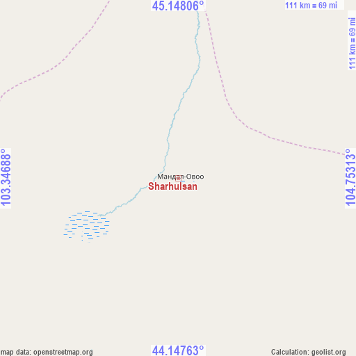
Sharhulsan GPS coordinates[2]
44° 39' 0" North, 104° 3' 0" East
| Map corner | latitude | longitude |
|---|---|---|
| Upper-left | 45.14806°, | 103.34688° |
| Center: | 44.65°, | 104.05° |
| Lower-right: | 44.14763°, | 104.75313° |
| Map W x H: | 111.2×111.2 km | = 69.1×69.1mi |
| max Lat: | 51.50725° ⇑93.3% North |
| Sharhulsan: | 44.65° |
| min Lat: | ⇓6.7% South 42.84199° |
| min Long | Sharhulsan | max Long |
| 89.14358° | 104.05° | 118.51014° |
| W 58%⇐ | ⇒42% E |
Elevation
Elevation of Sharhulsan is 1076 m = 3530 ft, and this is 340.5 m = 1117 ft below average elevation for this country.
| Max E: |
2800 m = 9186 ft | 77.6% |
| Avg. | 1416.5 m = 4647 ft | |
| Sharhulsan | 1076 m = 3530 ft | |
Min E: |
619 m = 2031 ft | 22.4% |
See also: Mongolia elevation on elevation.city.
Geographical zone
Sharhulsan is located in North temperate zone (between Tropic of Cancer and the Arctic Circle). Distance of this Northern Tropic circle is 2358.7 km =1465.6 mi to South.| Distance of | km | miles | from Sharhulsan |
|---|---|---|---|
| North Pole | 5042.4 | 3133.2 | to North |
| Arctic Circle | 2436.6 | 1514 | to North |
| Tropic Cancer | 2358.7 | 1465.6 | to South |
| Equator | 4964.6 | 3084.9 | to South |


Nearby cities:
15 places around Sharhulsan: (largest is in red/bold)
• Arguut
156.7 km =97.4 mi,  305°
305°
• Bulgan
73.5 km =45.7 mi,  213°
213°
• Dalandzadgad
123.7 km =76.9 mi,  165°
165°
• Dalay
138.3 km =85.9 mi,  198°
198°
• Doloon
103.8 km =64.5 mi,  103°
103°
• Hashaat
88.8 km =55.2 mi,  42°
42°
• Hoolt
129.1 km =80.2 mi,  319°
319°
• Hovd
131.8 km =81.9 mi,  270°
270°
• Hovd
148.3 km =92.1 mi, 270°
• Mayhan
161.1 km =100.1 mi,  354°
354°
• Ongi
89.7 km =55.7 mi, 352°
• Shiree
142.8 km =88.7 mi,  339°
339°
• Tsoohor
149.4 km =92.8 mi,  179°
179°
• Ulaanjirem
127.6 km =79.3 mi,  69°
69°
• Ögöömör
102.3 km =63.6 mi,  160°
160°
Sources, notices
• [Note1] Compared only with cities in Mongolia existing in our database
• [Src1] Map data: © OpenStreetMap contributors (CC-BY-SA)
• [Src2] Other city data from geonames.org with taken over terms of usage.
• [Src3] Geographical zone / Annual Mean Temperature by Robert A. Rohde @ Wikipedia
