San Vicente geodata
San Vicente (San Luis Potosí) is a populated place; located in Mexico in America/Mexico_City (GMT-6) time zone. With population of 658 people, there are 13187 cities with bigger population in this country. Compared to other cities in Mexico, 83.9% of cities are located further ↓South; 61% of cities are located further →East and 55.3% of cities have higher elevation than San Vicente. Note1


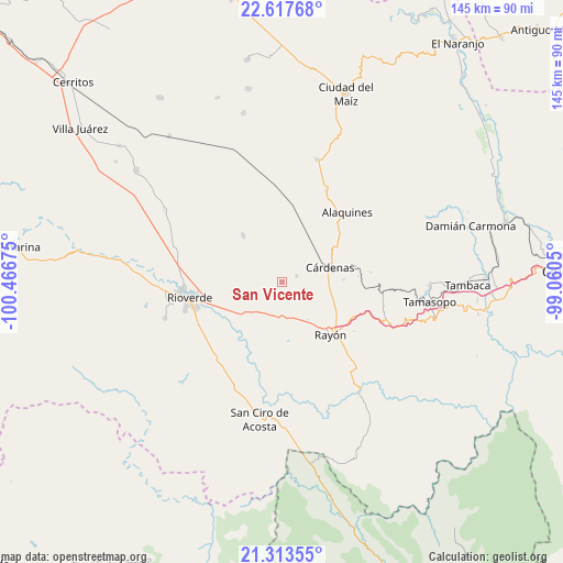
San Vicente GPS coordinates[2]
21° 58' 1.596" North, 99° 45' 49.032" West
| Map corner | latitude | longitude |
|---|---|---|
| Upper-left | 22.61768°, | -100.46675° |
| Center: | 21.96711°, | -99.76362° |
| Lower-right: | 21.31355°, | -99.0605° |
| Map W x H: | 145×145 km | = 90.1×90.1mi |
| max Lat: | 32.7° ⇑16.1% North |
| San Vicente: | 21.96711° |
| min Lat: | ⇓83.9% South 14.53588° |
| min Long | San Vicente | max Long |
| -117.105° | -99.76362° | -86.73105° |
| W 39%⇐ | ⇒61% E |
Elevation
Elevation of San Vicente is 1188 m = 3898 ft, and this is 65.7 m = 216 ft below average elevation for this country.
| Max E: |
3497 m = 11473 ft | 55.3% |
| Avg. | 1253.7 m = 4113 ft | |
| San Vicente | 1188 m = 3898 ft | |
Min E: |
-1 m = -3 ft | 44.7% |
See also: Mexico elevation on elevation.city.
Geographical zone
San Vicente is located in North Torrid zone (between Equator and Tropic of Cancer). Distance of this Northern Tropic circle is 163.4 km =101.5 mi to North.| Distance of | km | miles | from San Vicente |
|---|---|---|---|
| North Pole | 7564.5 | 4700.4 | to North |
| Arctic Circle | 4958.7 | 3081.2 | to North |
| Tropic Cancer | 163.4 | 101.5 | to North |
| Equator | 2442.5 | 1517.7 | to South |


Nearby cities:
15 places around San Vicente: (largest is in red/bold)
• Alaquines
24.7 km =15.3 mi,  42°
42°
• Cañada
24.1 km =15 mi,  65°
65°
• Cerrito de la Cruz
10 km =6.2 mi,  148°
148°
• Cárdenas
13.1 km =8.1 mi, 73°
• El Sabino
22.8 km =14.2 mi, 73°
• Higinio Olivo
19.1 km =11.9 mi,  85°
85°
• Ildefonso Turrubiartes (La Boquilla)
11.8 km =7.3 mi,  247°
247°
• Las Magdalenas
24.3 km =15.1 mi,  235°
235°
• Martinez
18.1 km =11.2 mi,  51°
51°
• Miguel Hidalgo
16.7 km =10.4 mi, 238°
• Rancho de Pro
23.9 km =14.9 mi, 53°
• Rayón
18.6 km =11.6 mi,  137°
137°
• Rioverde
24.2 km =15 mi,  260°
260°
• San Francisco
15.6 km =9.7 mi,  320°
320°
• Santa Rita
8.5 km =5.3 mi,  281°
281°
Sources, notices
• [Note1] Compared only with cities in Mexico existing in our database
• [Src1] Map data: © OpenStreetMap contributors (CC-BY-SA)
• [Src2] Other city data from geonames.org with taken over terms of usage.
• [Src3] Geographical zone / Annual Mean Temperature by Robert A. Rohde @ Wikipedia
