Texin geodata
Texin (Veracruz) is a populated place; located in Mexico in America/Mexico_City (GMT-6) time zone. With population of 1,041 people, there are 8377 cities with bigger population in this country. Compared to other cities in Mexico, 57.2% of cities are located further ↑North; 74.8% of cities are located further ←West and 53% of cities have higher elevation than Texin. Note1


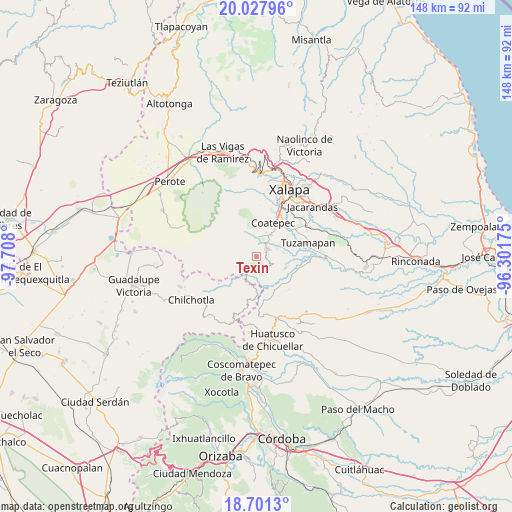
Texin GPS coordinates[2]
19° 21' 57.528" North, 97° 0' 17.532" West
| Map corner | latitude | longitude |
|---|---|---|
| Upper-left | 20.02796°, | -97.708° |
| Center: | 19.36598°, | -97.00487° |
| Lower-right: | 18.7013°, | -96.30175° |
| Map W x H: | 147.5×147.5 km | = 91.7×91.7mi |
| max Lat: | 32.7° ⇑57.2% North |
| Texin: | 19.36598° |
| min Lat: | ⇓42.8% South 14.53588° |
| min Long | Texin | max Long |
| -117.105° | -97.00487° | -86.73105° |
| W 74.8%⇐ | ⇒25.2% E |
Elevation
Elevation of Texin is 1289 m = 4229 ft, and this is 35.3 m = 116 ft above average elevation for this country.
| Max E: |
3497 m = 11473 ft | 53% |
| Texin | 1289 m 4229 ft | |
| Avg. | 1253.7 m = 4113 ft | |
Min E: |
-1 m = -3 ft | 47% |
See also: Mexico elevation on elevation.city.
Geographical zone
Texin is located in North Torrid zone (between Equator and Tropic of Cancer). Distance of this Northern Tropic circle is 452.6 km =281.2 mi to North.| Distance of | km | miles | from Texin |
|---|---|---|---|
| North Pole | 7853.8 | 4880.1 | to North |
| Arctic Circle | 5247.9 | 3260.9 | to North |
| Tropic Cancer | 452.6 | 281.2 | to North |
| Equator | 2153.3 | 1338 | to South |


Nearby cities:
15 places around Texin: (largest is in red/bold)
• Barranca Nueva
4.8 km =3 mi,  228°
228°
• Baxtla
3 km =1.9 mi,  96°
96°
• Casa Quemada
4.1 km =2.5 mi,  197°
197°
• Cetlalpan
3.3 km =2.1 mi,  260°
260°
• Colonia Úrsulo Galván
7.5 km =4.7 mi,  21°
21°
• Cosautlán
4.1 km =2.5 mi,  157°
157°
• Huehuetecpan
5.1 km =3.2 mi,  175°
175°
• Independencia
6.5 km =4 mi,  69°
69°
• Monte Grande
7.8 km =4.8 mi,  297°
297°
• Piedra Parada
5.2 km =3.2 mi,  114°
114°
• San Marcos de León
7.7 km =4.8 mi,  33°
33°
• San Miguel Tlapéxcatl
7 km =4.3 mi,  168°
168°
• Teocelo
3.9 km =2.4 mi,  56°
56°
• Vaquería
7.5 km =4.7 mi,  136°
136°
• Xico
6.2 km =3.9 mi,  356°
356°
Sources, notices
• [Note1] Compared only with cities in Mexico existing in our database
• [Src1] Map data: © OpenStreetMap contributors (CC-BY-SA)
• [Src2] Other city data from geonames.org with taken over terms of usage.
• [Src3] Geographical zone / Annual Mean Temperature by Robert A. Rohde @ Wikipedia
