Soyaniquilpan geodata
Soyaniquilpan (State of Mexico) is a seat of a second-order administrative division; located in Mexico in America/Mexico_City (GMT-6) time zone. With population of 4,287 people, there are 2141 cities with bigger population in this country. Compared to other cities in Mexico, 57.3% of cities are located further ↓South; 57.3% of cities are located further →East and 90% of cities have lower elevation than Soyaniquilpan. Note1


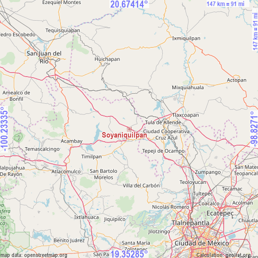
Soyaniquilpan GPS coordinates[2]
20° 0' 53.568" North, 99° 31' 48.792" West
| Map corner | latitude | longitude |
|---|---|---|
| Upper-left | 20.67414°, | -100.23335° |
| Center: | 20.01488°, | -99.53022° |
| Lower-right: | 19.35285°, | -98.8271° |
| Map W x H: | 146.9×146.9 km | = 91.3×91.3mi |
| max Lat: | 32.7° ⇑42.7% North |
| Soyaniquilpan: | 20.01488° |
| min Lat: | ⇓57.3% South 14.53588° |
| min Long | Soyaniquilpan | max Long |
| -117.105° | -99.53022° | -86.73105° |
| W 42.7%⇐ | ⇒57.3% E |
Elevation
Elevation of Soyaniquilpan is 2406 m = 7894 ft, and this is 1152.3 m = 3781 ft above average elevation for this country.
| Max E: |
3497 m = 11473 ft | 10% |
| Soyaniquilpan | 2406 m 7894 ft | |
| Avg. | 1253.7 m = 4113 ft | |
Min E: |
-1 m = -3 ft | 90% |
See also: Mexico elevation on elevation.city.
Geographical zone
Soyaniquilpan is located in North Torrid zone (between Equator and Tropic of Cancer). Distance of this Northern Tropic circle is 380.5 km =236.4 mi to North.| Distance of | km | miles | from Soyaniquilpan |
|---|---|---|---|
| North Pole | 7781.6 | 4835.3 | to North |
| Arctic Circle | 5175.7 | 3216 | to North |
| Tropic Cancer | 380.5 | 236.4 | to North |
| Equator | 2225.4 | 1382.8 | to South |


Nearby cities:
15 places around Soyaniquilpan: (largest is in red/bold)
• Agua Escondida
6.4 km =4 mi,  231°
231°
• Dexcani Bajo
8.1 km =5 mi,  158°
158°
• El Huisache (Tercera Manzana de Dexcani Alto)
8.8 km =5.5 mi,  149°
149°
• Jilotepec de Molina Enríquez
7 km =4.3 mi,  182°
182°
• La Comunidad
4.8 km =3 mi,  278°
278°
• Las Huertas
5.5 km =3.4 mi,  209°
209°
• Las Manzanas
7.8 km =4.8 mi,  204°
204°
• Octeyuco Dos Mil
8.3 km =5.2 mi, 226°
• Ojo de Agua
8 km =5 mi,  127°
127°
• San Agustín Buenavista
5.3 km =3.3 mi,  53°
53°
• San José Deguedó
8.7 km =5.4 mi,  335°
335°
• San Miguel de La Victoria
7.8 km =4.8 mi,  305°
305°
• San Pablo Huantepec
5.5 km =3.4 mi, 131°
• Xhitey
3.7 km =2.3 mi, 176°
• Xhixhata
5.2 km =3.2 mi, 198°
Sources, notices
• [Note1] Compared only with cities in Mexico existing in our database
• [Src1] Map data: © OpenStreetMap contributors (CC-BY-SA)
• [Src2] Other city data from geonames.org with taken over terms of usage.
• [Src3] Geographical zone / Annual Mean Temperature by Robert A. Rohde @ Wikipedia
