Santa Ana Coapan geodata
Santa Ana Coapan (Puebla) is a populated place; located in Mexico in America/Mexico_City (GMT-6) time zone. With population of 1,468 people, there are 5885 cities with bigger population in this country. Compared to other cities in Mexico, 68.2% of cities are located further ↑North; 65% of cities are located further ←West and 71.6% of cities have lower elevation than Santa Ana Coapan. Note1


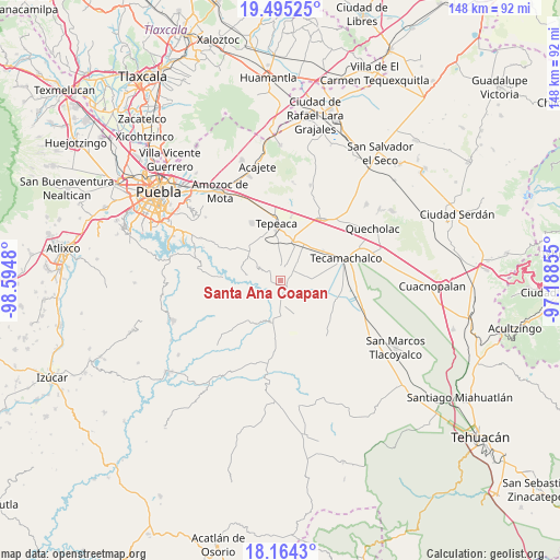
Santa Ana Coapan GPS coordinates[2]
18° 49' 51.924" North, 97° 53' 30.012" West
| Map corner | latitude | longitude |
|---|---|---|
| Upper-left | 19.49525°, | -98.5948° |
| Center: | 18.83109°, | -97.89167° |
| Lower-right: | 18.1643°, | -97.18855° |
| Map W x H: | 148×148 km | = 92×92mi |
| max Lat: | 32.7° ⇑68.2% North |
| Santa Ana Coapan: | 18.83109° |
| min Lat: | ⇓31.8% South 14.53588° |
| min Long | Santa Ana Coapa | max Long |
| -117.105° | -97.89167° | -86.73105° |
| W 65%⇐ | ⇒35% E |
Elevation
Elevation of Santa Ana Coapan is 1961 m = 6434 ft, and this is 707.3 m = 2321 ft above average elevation for this country.
| Max E: |
3497 m = 11473 ft | 28.4% |
| Santa Ana Coapan | 1961 m 6434 ft | |
| Avg. | 1253.7 m = 4113 ft | |
Min E: |
-1 m = -3 ft | 71.6% |
See also: Mexico elevation on elevation.city.
Geographical zone
Santa Ana Coapan is located in North Torrid zone (between Equator and Tropic of Cancer). Distance of this Northern Tropic circle is 512.1 km =318.2 mi to North.| Distance of | km | miles | from Santa Ana Coapan |
|---|---|---|---|
| North Pole | 7913.2 | 4917 | to North |
| Arctic Circle | 5307.4 | 3297.9 | to North |
| Tropic Cancer | 512.1 | 318.2 | to North |
| Equator | 2093.8 | 1301 | to South |


Nearby cities:
15 places around Santa Ana Coapan: (largest is in red/bold)
• Ahuatepec
4.1 km =2.5 mi,  317°
317°
• Atoyatempan
2.7 km =1.7 mi,  240°
240°
• Chipiltepec
8.1 km =5 mi,  41°
41°
• Dolores Hidalgo
8.9 km =5.5 mi,  158°
158°
• Huacaltzingo
4.8 km =3 mi,  137°
137°
• Hueyotlipan
7.2 km =4.5 mi,  22°
22°
• La Magdalena Cuaxixtla
8.8 km =5.5 mi,  307°
307°
• Mixtla
8.2 km =5.1 mi,  357°
357°
• Ometepec
4.8 km =3 mi,  57°
57°
• San Buenaventura
8.7 km =5.4 mi,  335°
335°
• Santa Clara Huitziltepec
7 km =4.3 mi,  170°
170°
• Tepeyahualco
2.4 km =1.5 mi, 140°
• Tlanepantla
3.6 km =2.2 mi,  7°
7°
• Tochtepec
7.3 km =4.5 mi,  82°
82°
• Zacaola
7.2 km =4.5 mi, 39°
Sources, notices
• [Note1] Compared only with cities in Mexico existing in our database
• [Src1] Map data: © OpenStreetMap contributors (CC-BY-SA)
• [Src2] Other city data from geonames.org with taken over terms of usage.
• [Src3] Geographical zone / Annual Mean Temperature by Robert A. Rohde @ Wikipedia
