San Sebastián Villanueva geodata
San Sebastián Villanueva (Puebla) is a populated place; located in Mexico in America/Mexico_City (GMT-6) time zone. With population of 6,866 people, there are 1357 cities with bigger population in this country. Compared to other cities in Mexico, 63.7% of cities are located further ↑North; 67% of cities are located further ←West and 87.8% of cities have lower elevation than San Sebastián Villanueva. Note1
Current local time in San Sebastián Villanueva:
10:22 AM, WednesdayDifference from your time zone: hours


San Sebastián Villanueva GPS coordinates[2]
19° 3' 39.06" North, 97° 43' 9.66" West
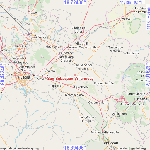
| Map corner | latitude | longitude |
|---|---|---|
| Upper-left | 19.72408°, | -98.42248° |
| Center: | 19.06085°, | -97.71935° |
| Lower-right: | 18.39496°, | -97.01623° |
| Map W x H: | 147.8×147.8 km | = 91.8×91.8mi |
| max Lat: | 32.7° ⇑63.7% North |
| San Sebastián Villanueva: | 19.06085° |
| min Lat: | ⇓36.3% South 14.53588° |
| min Long | San Sebastián | max Long |
| -117.105° | -97.71935° | -86.73105° |
| W 67%⇐ | ⇒33% E |
Elevation
Elevation of San Sebastián Villanueva is 2335 m = 7661 ft, and this is 1081.3 m = 3548 ft above average elevation for this country.
| Max E: |
3497 m = 11473 ft | 12.2% |
| San Sebastián Villanueva | 2335 m 7661 ft | |
| Avg. | 1253.7 m = 4113 ft | |
Min E: |
-1 m = -3 ft | 87.8% |
See also: Mexico elevation on elevation.city.
Geographical zone
San Sebastián Villanueva is located in North Torrid zone (between Equator and Tropic of Cancer). Distance of this Northern Tropic circle is 486.6 km =302.4 mi to North.| Distance of | km | miles | from San Sebastián Villanueva |
|---|---|---|---|
| North Pole | 7887.7 | 4901.2 | to North |
| Arctic Circle | 5281.8 | 3282 | to North |
| Tropic Cancer | 486.6 | 302.4 | to North |
| Equator | 2119.4 | 1316.9 | to South |


Nearby cities:
15 places around San Sebastián Villanueva: (largest is in red/bold)
• Candelaria Portezuelo
2.9 km =1.8 mi,  137°
137°
• Carmen Serdán
10.1 km =6.3 mi,  254°
254°
• Guadalupe Morelos
9.7 km =6 mi, 246°
• Hernández
9.2 km =5.7 mi,  293°
293°
• La Compañia
10 km =6.2 mi,  182°
182°
• La Ermita
9.6 km =6 mi,  312°
312°
• Libertad Álvaro Obregón
9.6 km =6 mi,  328°
328°
• Mazapiltepec
6.7 km =4.2 mi,  15°
15°
• San Antonio Portezuelo
6.9 km =4.3 mi,  174°
174°
• San Martín Rinconada
8.8 km =5.5 mi,  39°
39°
• San Mateo Soltepec
6 km =3.7 mi, 314°
• San Pablo de las Tunas
7.3 km =4.5 mi, 172°
• San Sebastián Teteles
8.1 km =5 mi, 246°
• Soltepec
6.8 km =4.2 mi,  9°
9°
• Vista Hermosa
6.5 km =4 mi,  349°
349°
Sources, notices
• [Note1] Compared only with cities in Mexico existing in our database
• [Src1] Map data: © OpenStreetMap contributors (CC-BY-SA)
• [Src2] Other city data from geonames.org with taken over terms of usage.
• [Src3] Geographical zone / Annual Mean Temperature by Robert A. Rohde @ Wikipedia
