San Diego geodata
San Diego (Hidalgo) is a populated place; located in Mexico in America/Mexico_City (GMT-6) time zone. With population of 714 people, there are 12202 cities with bigger population in this country. Compared to other cities in Mexico, 78.5% of cities are located further ↓South; 61.4% of cities are located further ←West and 80.3% of cities have higher elevation than San Diego. Note1


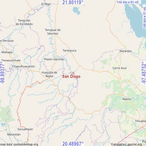
San Diego GPS coordinates[2]
21° 8' 48.768" North, 98° 11' 26.304" West
| Map corner | latitude | longitude |
|---|---|---|
| Upper-left | 21.80119°, | -98.89377° |
| Center: | 21.14688°, | -98.19064° |
| Lower-right: | 20.48967°, | -97.48752° |
| Map W x H: | 145.8×145.8 km | = 90.6×90.6mi |
| max Lat: | 32.7° ⇑21.5% North |
| San Diego: | 21.14688° |
| min Lat: | ⇓78.5% South 14.53588° |
| min Long | San Diego | max Long |
| -117.105° | -98.19064° | -86.73105° |
| W 61.4%⇐ | ⇒38.6% E |
Elevation
Elevation of San Diego is 90 m = 295 ft, and this is 1163.7 m = 3818 ft below average elevation for this country.
| Max E: |
3497 m = 11473 ft | 80.3% |
| Avg. | 1253.7 m = 4113 ft | |
| San Diego | 90 m = 295 ft | |
Min E: |
-1 m = -3 ft | 19.7% |
See also: Mexico elevation on elevation.city.
Geographical zone
San Diego is located in North Torrid zone (between Equator and Tropic of Cancer). Distance of this Northern Tropic circle is 254.6 km =158.2 mi to North.| Distance of | km | miles | from San Diego |
|---|---|---|---|
| North Pole | 7655.7 | 4757 | to North |
| Arctic Circle | 5049.9 | 3137.9 | to North |
| Tropic Cancer | 254.6 | 158.2 | to North |
| Equator | 2351.3 | 1461 | to South |


Nearby cities:
15 places around San Diego: (largest is in red/bold)
• Ahuehuetl
14.7 km =9.1 mi,  221°
221°
• Callejón Santa Clara
15.7 km =9.8 mi,  23°
23°
• Chalingo
6.1 km =3.8 mi,  210°
210°
• Chapopote Chico
6 km =3.7 mi,  259°
259°
• Congreso Permanente Agrario
11.3 km =7 mi, 263°
• Corralillo
12.2 km =7.6 mi,  347°
347°
• El Mirador
9.5 km =5.9 mi, 352°
• Ixcanelco
0.9 km =0.6 mi,  197°
197°
• Los Ajos
7 km =4.3 mi,  42°
42°
• Los Otates
16.1 km =10 mi,  271°
271°
• Pastoría
8.4 km =5.2 mi,  141°
141°
• Rancho Viejo
13.3 km =8.3 mi,  277°
277°
• San Sebastián
9.9 km =6.2 mi, 37°
• Tamoyón I
14.8 km =9.2 mi, 203°
• Tzacuala
5.9 km =3.7 mi, 222°
Sources, notices
• [Note1] Compared only with cities in Mexico existing in our database
• [Src1] Map data: © OpenStreetMap contributors (CC-BY-SA)
• [Src2] Other city data from geonames.org with taken over terms of usage.
• [Src3] Geographical zone / Annual Mean Temperature by Robert A. Rohde @ Wikipedia
