Los Ajos geodata
Los Ajos (Veracruz) is a populated place; located in Mexico in America/Mexico_City (GMT-6) time zone. With population of 952 people, there are 9147 cities with bigger population in this country. Compared to other cities in Mexico, 79% of cities are located further ↓South; 62% of cities are located further ←West and 77.7% of cities have higher elevation than Los Ajos. Note1


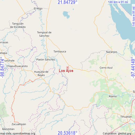
Los Ajos GPS coordinates[2]
21° 11' 35.484" North, 98° 8' 40.596" West
| Map corner | latitude | longitude |
|---|---|---|
| Upper-left | 21.84729°, | -98.84774° |
| Center: | 21.19319°, | -98.14461° |
| Lower-right: | 20.53618°, | -97.44149° |
| Map W x H: | 145.8×145.8 km | = 90.6×90.6mi |
| max Lat: | 32.7° ⇑21% North |
| Los Ajos: | 21.19319° |
| min Lat: | ⇓79% South 14.53588° |
| min Long | Los Ajos | max Long |
| -117.105° | -98.14461° | -86.73105° |
| W 62%⇐ | ⇒38% E |
Elevation
Elevation of Los Ajos is 137 m = 449 ft, and this is 1116.7 m = 3664 ft below average elevation for this country.
| Max E: |
3497 m = 11473 ft | 77.7% |
| Avg. | 1253.7 m = 4113 ft | |
| Los Ajos | 137 m = 449 ft | |
Min E: |
-1 m = -3 ft | 22.3% |
See also: Mexico elevation on elevation.city.
Geographical zone
Los Ajos is located in North Torrid zone (between Equator and Tropic of Cancer). Distance of this Northern Tropic circle is 249.5 km =155 mi to North.| Distance of | km | miles | from Los Ajos |
|---|---|---|---|
| North Pole | 7650.6 | 4753.9 | to North |
| Arctic Circle | 5044.7 | 3134.6 | to North |
| Tropic Cancer | 249.5 | 155 | to North |
| Equator | 2356.5 | 1464.3 | to South |


Nearby cities:
15 places around Los Ajos: (largest is in red/bold)
• Callejón Santa Clara
9.4 km =5.8 mi,  9°
9°
• Chalingo
13 km =8.1 mi,  216°
216°
• Chapopote Chico
12.4 km =7.7 mi,  239°
239°
• Corralillo
10.1 km =6.3 mi,  312°
312°
• El Gavilán
14.3 km =8.9 mi,  82°
82°
• El Lindero
15.4 km =9.6 mi,  329°
329°
• El Mirador
7.4 km =4.6 mi, 305°
• El Rincón
16.7 km =10.4 mi,  33°
33°
• Ixcanelco
7.8 km =4.8 mi, 220°
• Ixcatepec
15.1 km =9.4 mi,  71°
71°
• Moralillo
12.8 km =8 mi, 327°
• Pastoría
11.7 km =7.3 mi,  177°
177°
• San Diego
7 km =4.3 mi, 222°
• San Sebastián
2.9 km =1.8 mi,  24°
24°
• Tzacuala
12.9 km =8 mi, 222°
Sources, notices
• [Note1] Compared only with cities in Mexico existing in our database
• [Src1] Map data: © OpenStreetMap contributors (CC-BY-SA)
• [Src2] Other city data from geonames.org with taken over terms of usage.
• [Src3] Geographical zone / Annual Mean Temperature by Robert A. Rohde @ Wikipedia
