Quechulac geodata
Quechulac (Puebla) is a populated place; located in Mexico in America/Mexico_City (GMT-6) time zone. With population of 1,787 people, there are 4867 cities with bigger population in this country. Compared to other cities in Mexico, 57% of cities are located further ↑North; 71.1% of cities are located further ←West and 88.9% of cities have lower elevation than Quechulac. Note1


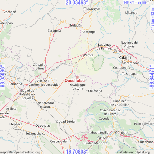
Quechulac GPS coordinates[2]
19° 22' 21.828" North, 97° 20' 52.188" West
| Map corner | latitude | longitude |
|---|---|---|
| Upper-left | 20.03468°, | -98.05096° |
| Center: | 19.37273°, | -97.34783° |
| Lower-right: | 18.70808°, | -96.64471° |
| Map W x H: | 147.5×147.5 km | = 91.7×91.7mi |
| max Lat: | 32.7° ⇑57% North |
| Quechulac: | 19.37273° |
| min Lat: | ⇓43% South 14.53588° |
| min Long | Quechulac | max Long |
| -117.105° | -97.34783° | -86.73105° |
| W 71.1%⇐ | ⇒28.9% E |
Elevation
Elevation of Quechulac is 2368 m = 7769 ft, and this is 1114.3 m = 3656 ft above average elevation for this country.
| Max E: |
3497 m = 11473 ft | 11.1% |
| Quechulac | 2368 m 7769 ft | |
| Avg. | 1253.7 m = 4113 ft | |
Min E: |
-1 m = -3 ft | 88.9% |
See also: Mexico elevation on elevation.city.
Geographical zone
Quechulac is located in North Torrid zone (between Equator and Tropic of Cancer). Distance of this Northern Tropic circle is 451.9 km =280.8 mi to North.| Distance of | km | miles | from Quechulac |
|---|---|---|---|
| North Pole | 7853 | 4879.6 | to North |
| Arctic Circle | 5247.1 | 3260.4 | to North |
| Tropic Cancer | 451.9 | 280.8 | to North |
| Equator | 2154 | 1338.4 | to South |


Nearby cities:
15 places around Quechulac: (largest is in red/bold)
• Chichicuautla
5.2 km =3.2 mi,  292°
292°
• El Progreso
6.3 km =3.9 mi,  77°
77°
• González Ortega
8.8 km =5.5 mi,  112°
112°
• Guadalupe Victoria
9.1 km =5.7 mi,  176°
176°
• Hacienda Nueva (San Pedro el Águila)
8 km =5 mi,  237°
237°
• Itzoteno
10.6 km =6.6 mi,  297°
297°
• La Gloria
7.3 km =4.5 mi,  69°
69°
• Maravillas
5 km =3.1 mi,  131°
131°
• Pocitos
13.4 km =8.3 mi,  150°
150°
• Saltillo
10 km =6.2 mi, 147°
• San José Alchichica
8.1 km =5 mi,  327°
327°
• Techachalco
9.3 km =5.8 mi,  275°
275°
• Tlalconteno
13.6 km =8.5 mi,  51°
51°
• Xaltepec
1.2 km =0.7 mi,  317°
317°
• Zalayeta (Alchichica y el Bordo)
6.3 km =3.9 mi,  312°
312°
Sources, notices
• [Note1] Compared only with cities in Mexico existing in our database
• [Src1] Map data: © OpenStreetMap contributors (CC-BY-SA)
• [Src2] Other city data from geonames.org with taken over terms of usage.
• [Src3] Geographical zone / Annual Mean Temperature by Robert A. Rohde @ Wikipedia
