Papatlatla geodata
Papatlatla (Hidalgo) is a populated place; located in Mexico in America/Mexico_City (GMT-6) time zone. With population of 2,750 people, there are 3221 cities with bigger population in this country. Compared to other cities in Mexico, 74.9% of cities are located further ↓South; 57.9% of cities are located further ←West and 72.9% of cities have higher elevation than Papatlatla. Note1


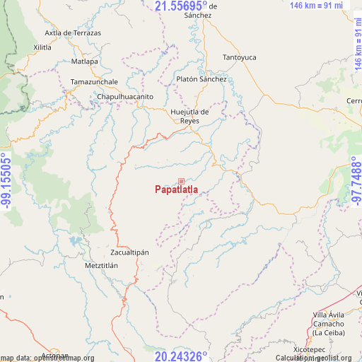
Papatlatla GPS coordinates[2]
20° 54' 5.544" North, 98° 27' 6.912" West
| Map corner | latitude | longitude |
|---|---|---|
| Upper-left | 21.55695°, | -99.15505° |
| Center: | 20.90154°, | -98.45192° |
| Lower-right: | 20.24326°, | -97.7488° |
| Map W x H: | 146.1×146.1 km | = 90.8×90.8mi |
| max Lat: | 32.7° ⇑25.1% North |
| Papatlatla: | 20.90154° |
| min Lat: | ⇓74.9% South 14.53588° |
| min Long | Papatlatla | max Long |
| -117.105° | -98.45192° | -86.73105° |
| W 57.9%⇐ | ⇒42.1% E |
Elevation
Elevation of Papatlatla is 296 m = 971 ft, and this is 957.7 m = 3142 ft below average elevation for this country.
| Max E: |
3497 m = 11473 ft | 72.9% |
| Avg. | 1253.7 m = 4113 ft | |
| Papatlatla | 296 m = 971 ft | |
Min E: |
-1 m = -3 ft | 27.1% |
See also: Mexico elevation on elevation.city.
Geographical zone
Papatlatla is located in North Torrid zone (between Equator and Tropic of Cancer). Distance of this Northern Tropic circle is 281.9 km =175.2 mi to North.| Distance of | km | miles | from Papatlatla |
|---|---|---|---|
| North Pole | 7683 | 4774 | to North |
| Arctic Circle | 5077.1 | 3154.8 | to North |
| Tropic Cancer | 281.9 | 175.2 | to North |
| Equator | 2324 | 1444.1 | to South |


Nearby cities:
15 places around Papatlatla: (largest is in red/bold)
• Aguacatitla
5.1 km =3.2 mi,  151°
151°
• Atempa
4.4 km =2.7 mi,  242°
242°
• Coacoaco
8.4 km =5.2 mi,  169°
169°
• Coamitla
4.6 km =2.9 mi,  269°
269°
• Coyula
4.3 km =2.7 mi,  310°
310°
• Mecatlán
6.3 km =3.9 mi,  53°
53°
• Pepeyocatitla
5.9 km =3.7 mi,  75°
75°
• Santa Lucía (Mesa de Santa Lucía)
4.2 km =2.6 mi,  24°
24°
• Santa Teresa
7.2 km =4.5 mi,  100°
100°
• Santo Tomás
9.5 km =5.9 mi,  359°
359°
• Tlalchiyahualica
9.4 km =5.8 mi,  35°
35°
• Xoxolpa
4.1 km =2.5 mi,  134°
134°
• Yahualica
9.4 km =5.8 mi, 51°
• Zacatipán
9.4 km =5.8 mi,  220°
220°
• Zoquitipán
2.2 km =1.4 mi,  67°
67°
Sources, notices
• [Note1] Compared only with cities in Mexico existing in our database
• [Src1] Map data: © OpenStreetMap contributors (CC-BY-SA)
• [Src2] Other city data from geonames.org with taken over terms of usage.
• [Src3] Geographical zone / Annual Mean Temperature by Robert A. Rohde @ Wikipedia
