Zacatipán geodata
Zacatipán (Hidalgo) is a populated place; located in Mexico in America/Mexico_City (GMT-6) time zone. With population of 603 people, there are 14266 cities with bigger population in this country. Compared to other cities in Mexico, 73.9% of cities are located further ↓South; 57.1% of cities are located further ←West and 63% of cities have higher elevation than Zacatipán. Note1


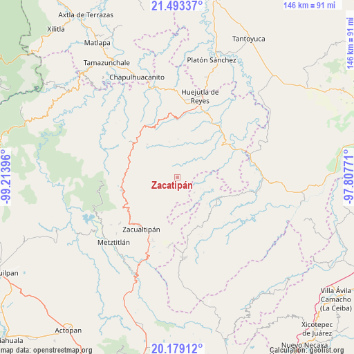
Zacatipán GPS coordinates[2]
20° 50' 15.648" North, 98° 30' 38.988" West
| Map corner | latitude | longitude |
|---|---|---|
| Upper-left | 21.49337°, | -99.21396° |
| Center: | 20.83768°, | -98.51083° |
| Lower-right: | 20.17912°, | -97.80771° |
| Map W x H: | 146.1×146.1 km | = 90.8×90.8mi |
| max Lat: | 32.7° ⇑26.1% North |
| Zacatipán: | 20.83768° |
| min Lat: | ⇓73.9% South 14.53588° |
| min Long | Zacatipán | max Long |
| -117.105° | -98.51083° | -86.73105° |
| W 57.1%⇐ | ⇒42.9% E |
Elevation
Elevation of Zacatipán is 819 m = 2687 ft, and this is 434.7 m = 1426 ft below average elevation for this country.
| Max E: |
3497 m = 11473 ft | 63% |
| Avg. | 1253.7 m = 4113 ft | |
| Zacatipán | 819 m = 2687 ft | |
Min E: |
-1 m = -3 ft | 37% |
See also: Mexico elevation on elevation.city.
Geographical zone
Zacatipán is located in North Torrid zone (between Equator and Tropic of Cancer). Distance of this Northern Tropic circle is 289 km =179.6 mi to North.| Distance of | km | miles | from Zacatipán |
|---|---|---|---|
| North Pole | 7690.1 | 4778.4 | to North |
| Arctic Circle | 5084.2 | 3159.2 | to North |
| Tropic Cancer | 289 | 179.6 | to North |
| Equator | 2316.9 | 1439.7 | to South |


Nearby cities:
15 places around Zacatipán: (largest is in red/bold)
• Aguacatitla
9 km =5.6 mi,  73°
73°
• Atempa
5.5 km =3.4 mi,  23°
23°
• Calnali
10.1 km =6.3 mi,  310°
310°
• Coacoaco
7.8 km =4.8 mi,  98°
98°
• Coamitla
7.2 km =4.5 mi,  11°
11°
• Coyula
10.3 km =6.4 mi, 16°
• Ilamatlán
9.5 km =5.9 mi,  132°
132°
• Ixcotitlán
9.3 km =5.8 mi,  192°
192°
• Papatlatla
9.4 km =5.8 mi,  40°
40°
• Polintotla
8.1 km =5 mi,  177°
177°
• San Miguel
4.1 km =2.5 mi,  244°
244°
• Tuzancoac
4.9 km =3 mi,  292°
292°
• Xalacahuantla
6 km =3.7 mi,  161°
161°
• Xochimilco
5.7 km =3.5 mi, 181°
• Xoxolpa
10 km =6.2 mi,  64°
64°
Sources, notices
• [Note1] Compared only with cities in Mexico existing in our database
• [Src1] Map data: © OpenStreetMap contributors (CC-BY-SA)
• [Src2] Other city data from geonames.org with taken over terms of usage.
• [Src3] Geographical zone / Annual Mean Temperature by Robert A. Rohde @ Wikipedia
