Calcehtoc geodata
Calcehtoc (Yucatán) is a populated place; located in Mexico in America/Merida (GMT-6) time zone. With population of 1,503 people, there are 5740 cities with bigger population in this country. Compared to other cities in Mexico, 69.3% of cities are located further ↓South; 97.6% of cities are located further ←West and 92.1% of cities have higher elevation than Calcehtoc. Note1


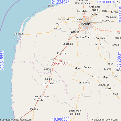
Calcehtoc GPS coordinates[2]
20° 34' 5.052" North, 89° 54' 44.712" West
| Map corner | latitude | longitude |
|---|---|---|
| Upper-left | 21.22494°, | -90.61555° |
| Center: | 20.56807°, | -89.91242° |
| Lower-right: | 19.90836°, | -89.2093° |
| Map W x H: | 146.4×146.4 km | = 91×91mi |
| max Lat: | 32.7° ⇑30.7% North |
| Calcehtoc: | 20.56807° |
| min Lat: | ⇓69.3% South 14.53588° |
| min Long | Calcehtoc | max Long |
| -117.105° | -89.91242° | -86.73105° |
| W 97.6%⇐ | ⇒2.4% E |
Elevation
Elevation of Calcehtoc is 19 m = 62 ft, and this is 1234.7 m = 4051 ft below average elevation for this country.
| Max E: |
3497 m = 11473 ft | 92.1% |
| Avg. | 1253.7 m = 4113 ft | |
| Calcehtoc | 19 m = 62 ft | |
Min E: |
-1 m = -3 ft | 7.9% |
See also: Mexico elevation on elevation.city.
Geographical zone
Calcehtoc is located in North Torrid zone (between Equator and Tropic of Cancer). Distance of this Northern Tropic circle is 319 km =198.2 mi to North.| Distance of | km | miles | from Calcehtoc |
|---|---|---|---|
| North Pole | 7720.1 | 4797 | to North |
| Arctic Circle | 5114.2 | 3177.8 | to North |
| Tropic Cancer | 319 | 198.2 | to North |
| Equator | 2287 | 1421.1 | to South |


Nearby cities:
15 places around Calcehtoc: (largest is in red/bold)
• Abala
25.7 km =16 mi,  69°
69°
• Bécal
18.5 km =11.5 mi,  220°
220°
• Cepeda
21.7 km =13.5 mi,  251°
251°
• Chochola
22 km =13.7 mi,  22°
22°
• Cuch Holoch
24.3 km =15.1 mi,  232°
232°
• Dzidzibachi
22.3 km =13.9 mi,  270°
270°
• Halachó
20.2 km =12.6 mi,  240°
240°
• Kopoma
9.1 km =5.7 mi,  8°
8°
• Maxcanú
9.4 km =5.8 mi,  281°
281°
• Muna
22.5 km =14 mi,  113°
113°
• Opichen
6 km =3.7 mi, 107°
• Paraíso
24.4 km =15.2 mi,  299°
299°
• Santa Rosa
18.8 km =11.7 mi, 282°
• Santo Domingo
21.6 km =13.4 mi, 279°
• Tepakán
23.2 km =14.4 mi, 215°
Sources, notices
• [Note1] Compared only with cities in Mexico existing in our database
• [Src1] Map data: © OpenStreetMap contributors (CC-BY-SA)
• [Src2] Other city data from geonames.org with taken over terms of usage.
• [Src3] Geographical zone / Annual Mean Temperature by Robert A. Rohde @ Wikipedia
