Pahuayo geodata
Pahuayo (Hidalgo) is a populated place; located in Mexico in America/Mexico_City (GMT-6) time zone. With population of 528 people, there are 16014 cities with bigger population in this country. Compared to other cities in Mexico, 78.9% of cities are located further ↓South; 55% of cities are located further ←West and 71.7% of cities have higher elevation than Pahuayo. Note1


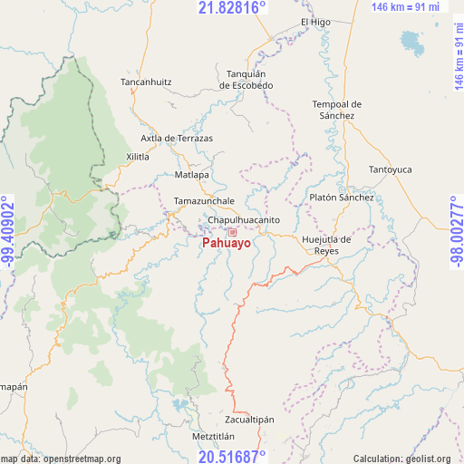
Pahuayo GPS coordinates[2]
21° 10' 26.292" North, 98° 42' 21.204" West
| Map corner | latitude | longitude |
|---|---|---|
| Upper-left | 21.82816°, | -99.40902° |
| Center: | 21.17397°, | -98.70589° |
| Lower-right: | 20.51687°, | -98.00277° |
| Map W x H: | 145.8×145.8 km | = 90.6×90.6mi |
| max Lat: | 32.7° ⇑21.1% North |
| Pahuayo: | 21.17397° |
| min Lat: | ⇓78.9% South 14.53588° |
| min Long | Pahuayo | max Long |
| -117.105° | -98.70589° | -86.73105° |
| W 55%⇐ | ⇒45% E |
Elevation
Elevation of Pahuayo is 339 m = 1112 ft, and this is 914.7 m = 3001 ft below average elevation for this country.
| Max E: |
3497 m = 11473 ft | 71.7% |
| Avg. | 1253.7 m = 4113 ft | |
| Pahuayo | 339 m = 1112 ft | |
Min E: |
-1 m = -3 ft | 28.3% |
See also: Mexico elevation on elevation.city.
Geographical zone
Pahuayo is located in North Torrid zone (between Equator and Tropic of Cancer). Distance of this Northern Tropic circle is 251.6 km =156.3 mi to North.| Distance of | km | miles | from Pahuayo |
|---|---|---|---|
| North Pole | 7652.7 | 4755.2 | to North |
| Arctic Circle | 5046.8 | 3135.9 | to North |
| Tropic Cancer | 251.6 | 156.3 | to North |
| Equator | 2354.3 | 1462.9 | to South |


Nearby cities:
15 places around Pahuayo: (largest is in red/bold)
• Ahuatitla
4.3 km =2.7 mi,  103°
103°
• Chantasco
4.5 km =2.8 mi,  264°
264°
• Chapulhuacanito
5.4 km =3.4 mi,  43°
43°
• Coaxocotitla
8 km =5 mi,  300°
300°
• Cojolapa
5.4 km =3.4 mi,  0°
0°
• Huitzitzilingo
5.1 km =3.2 mi,  91°
91°
• Jalpa
7.3 km =4.5 mi,  185°
185°
• Pueblo Hidalgo
7.2 km =4.5 mi,  156°
156°
• Rancho Nuevo
3.6 km =2.2 mi,  323°
323°
• Santa Lucía
1.2 km =0.7 mi,  183°
183°
• Santa María Picula
5.1 km =3.2 mi,  308°
308°
• Temango
5 km =3.1 mi, 161°
• Tezontla
7.4 km =4.6 mi,  7°
7°
• Tianguispicula
1.8 km =1.1 mi,  359°
359°
• Xalcuatla
6 km =3.7 mi,  280°
280°
Sources, notices
• [Note1] Compared only with cities in Mexico existing in our database
• [Src1] Map data: © OpenStreetMap contributors (CC-BY-SA)
• [Src2] Other city data from geonames.org with taken over terms of usage.
• [Src3] Geographical zone / Annual Mean Temperature by Robert A. Rohde @ Wikipedia
