Tepaltzingo geodata
Tepaltzingo (Hidalgo) is a populated place; located in Mexico in America/Mexico_City (GMT-6) time zone. With population of 885 people, there are 9853 cities with bigger population in this country. Compared to other cities in Mexico, 59.9% of cities are located further ↓South; 60.1% of cities are located further ←West and 86.2% of cities have lower elevation than Tepaltzingo. Note1


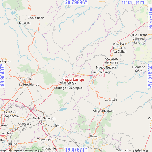
Tepaltzingo GPS coordinates[2]
20° 8' 17.628" North, 98° 16' 52.464" West
| Map corner | latitude | longitude |
|---|---|---|
| Upper-left | 20.79696°, | -98.98437° |
| Center: | 20.13823°, | -98.28124° |
| Lower-right: | 19.47671°, | -97.57812° |
| Map W x H: | 146.8×146.8 km | = 91.2×91.2mi |
| max Lat: | 32.7° ⇑40.1% North |
| Tepaltzingo: | 20.13823° |
| min Lat: | ⇓59.9% South 14.53588° |
| min Long | Tepaltzingo | max Long |
| -117.105° | -98.28124° | -86.73105° |
| W 60.1%⇐ | ⇒39.9% E |
Elevation
Elevation of Tepaltzingo is 2286 m = 7500 ft, and this is 1032.3 m = 3387 ft above average elevation for this country.
| Max E: |
3497 m = 11473 ft | 13.8% |
| Tepaltzingo | 2286 m 7500 ft | |
| Avg. | 1253.7 m = 4113 ft | |
Min E: |
-1 m = -3 ft | 86.2% |
See also: Mexico elevation on elevation.city.
Geographical zone
Tepaltzingo is located in North Torrid zone (between Equator and Tropic of Cancer). Distance of this Northern Tropic circle is 366.8 km =227.9 mi to North.| Distance of | km | miles | from Tepaltzingo |
|---|---|---|---|
| North Pole | 7767.9 | 4826.7 | to North |
| Arctic Circle | 5162 | 3207.5 | to North |
| Tropic Cancer | 366.8 | 227.9 | to North |
| Equator | 2239.2 | 1391.4 | to South |


Nearby cities:
15 places around Tepaltzingo: (largest is in red/bold)
• Acaxochitlán
8.6 km =5.3 mi,  75°
75°
• Barrio Cuaunepantla
5.9 km =3.7 mi,  69°
69°
• Barrio Techachalco
7.5 km =4.7 mi, 68°
• Coyametepec
9.2 km =5.7 mi,  106°
106°
• Hueyapita
8.5 km =5.3 mi,  150°
150°
• La Mesa
7.9 km =4.9 mi,  132°
132°
• Palo Gordo
9 km =5.6 mi,  342°
342°
• Parque Urbano Napateco
6.2 km =3.9 mi,  274°
274°
• San Mateo
6.1 km =3.8 mi,  36°
36°
• San Nicolás Cebolletas (Cebolletas)
7.1 km =4.4 mi,  290°
290°
• San Pedro Tlachichilco
3.1 km =1.9 mi, 35°
• Santa Ana Hueytlalpan
5.2 km =3.2 mi,  321°
321°
• Santa María Asunción
2.2 km =1.4 mi,  31°
31°
• Tlacpac
6.8 km =4.2 mi, 79°
• Viveros de la Loma
7.4 km =4.6 mi,  236°
236°
Sources, notices
• [Note1] Compared only with cities in Mexico existing in our database
• [Src1] Map data: © OpenStreetMap contributors (CC-BY-SA)
• [Src2] Other city data from geonames.org with taken over terms of usage.
• [Src3] Geographical zone / Annual Mean Temperature by Robert A. Rohde @ Wikipedia
