La Mesa geodata
La Mesa (Hidalgo) is a populated place; located in Mexico in America/Mexico_City (GMT-6) time zone. With population of 897 people, there are 9721 cities with bigger population in this country. Compared to other cities in Mexico, 58.9% of cities are located further ↓South; 60.8% of cities are located further ←West and 88.9% of cities have lower elevation than La Mesa. Note1


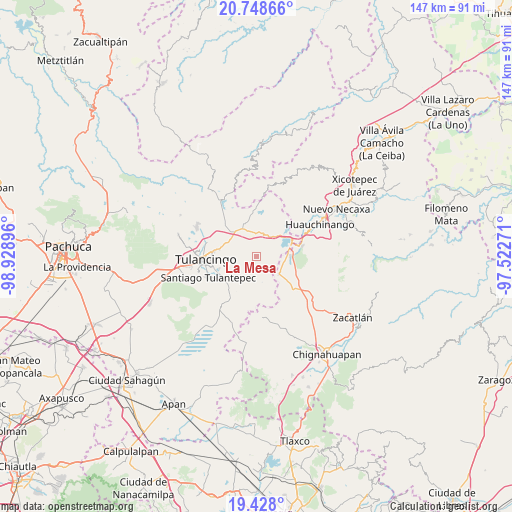
La Mesa GPS coordinates[2]
20° 5' 22.992" North, 98° 13' 32.988" West
| Map corner | latitude | longitude |
|---|---|---|
| Upper-left | 20.74866°, | -98.92896° |
| Center: | 20.08972°, | -98.22583° |
| Lower-right: | 19.428°, | -97.52271° |
| Map W x H: | 146.8×146.8 km | = 91.2×91.2mi |
| max Lat: | 32.7° ⇑41.1% North |
| La Mesa: | 20.08972° |
| min Lat: | ⇓58.9% South 14.53588° |
| min Long | La Mesa | max Long |
| -117.105° | -98.22583° | -86.73105° |
| W 60.8%⇐ | ⇒39.2% E |
Elevation
Elevation of La Mesa is 2367 m = 7766 ft, and this is 1113.3 m = 3653 ft above average elevation for this country.
| Max E: |
3497 m = 11473 ft | 11.1% |
| La Mesa | 2367 m 7766 ft | |
| Avg. | 1253.7 m = 4113 ft | |
Min E: |
-1 m = -3 ft | 88.9% |
See also: Mexico elevation on elevation.city.
Geographical zone
La Mesa is located in North Torrid zone (between Equator and Tropic of Cancer). Distance of this Northern Tropic circle is 372.2 km =231.3 mi to North.| Distance of | km | miles | from La Mesa |
|---|---|---|---|
| North Pole | 7773.3 | 4830.1 | to North |
| Arctic Circle | 5167.4 | 3210.9 | to North |
| Tropic Cancer | 372.2 | 231.3 | to North |
| Equator | 2233.8 | 1388 | to South |


Nearby cities:
15 places around La Mesa: (largest is in red/bold)
• Acaxochitlán
8 km =5 mi,  18°
18°
• Ahuazotepec
8.2 km =5.1 mi,  127°
127°
• Barrio Cuaunepantla
7.5 km =4.7 mi,  358°
358°
• Barrio Techachalco
8.2 km =5.1 mi,  8°
8°
• Cerro Verde
8 km =5 mi,  241°
241°
• Coyametepec
4.2 km =2.6 mi,  46°
46°
• Guadalupe Victoria
7.3 km =4.5 mi,  217°
217°
• Hueyapita
2.6 km =1.6 mi, 218°
• Las Puentes
6.6 km =4.1 mi,  139°
139°
• Santa María Asunción
8.6 km =5.3 mi,  327°
327°
• Tepaltzingo
7.9 km =4.9 mi,  312°
312°
• Tepepa
7.6 km =4.7 mi, 48°
• Tlacpac
6.6 km =4.1 mi, 8°
• Tlaltegco (Venta Quemada)
7.1 km =4.4 mi,  30°
30°
• Tlatzintla
8.3 km =5.2 mi, 26°
Sources, notices
• [Note1] Compared only with cities in Mexico existing in our database
• [Src1] Map data: © OpenStreetMap contributors (CC-BY-SA)
• [Src2] Other city data from geonames.org with taken over terms of usage.
• [Src3] Geographical zone / Annual Mean Temperature by Robert A. Rohde @ Wikipedia
