Potzontepec geodata
Potzontepec (State of Mexico) is a populated place; located in Mexico in America/Mexico_City (GMT-6) time zone. With population of 561 people, there are 15205 cities with bigger population in this country. Compared to other cities in Mexico, 69.7% of cities are located further ↑North; 62.5% of cities are located further →East and 51.3% of cities have lower elevation than Potzontepec. Note1


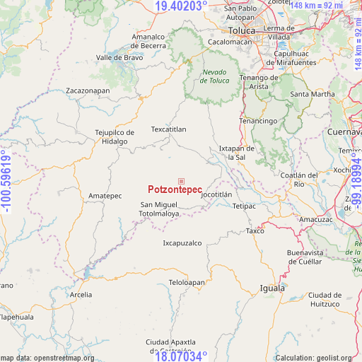
Potzontepec GPS coordinates[2]
18° 44' 15" North, 99° 53' 35.016" West
| Map corner | latitude | longitude |
|---|---|---|
| Upper-left | 19.40203°, | -100.59619° |
| Center: | 18.7375°, | -99.89306° |
| Lower-right: | 18.07034°, | -99.18994° |
| Map W x H: | 148.1×148.1 km | = 92×92mi |
| max Lat: | 32.7° ⇑69.7% North |
| Potzontepec: | 18.7375° |
| min Lat: | ⇓30.3% South 14.53588° |
| min Long | Potzontepec | max Long |
| -117.105° | -99.89306° | -86.73105° |
| W 37.5%⇐ | ⇒62.5% E |
Elevation
Elevation of Potzontepec is 1496 m = 4908 ft, and this is 242.3 m = 795 ft above average elevation for this country.
| Max E: |
3497 m = 11473 ft | 48.7% |
| Potzontepec | 1496 m 4908 ft | |
| Avg. | 1253.7 m = 4113 ft | |
Min E: |
-1 m = -3 ft | 51.3% |
See also: Mexico elevation on elevation.city.
Geographical zone
Potzontepec is located in North Torrid zone (between Equator and Tropic of Cancer). Distance of this Northern Tropic circle is 522.5 km =324.7 mi to North.| Distance of | km | miles | from Potzontepec |
|---|---|---|---|
| North Pole | 7923.6 | 4923.5 | to North |
| Arctic Circle | 5317.8 | 3304.3 | to North |
| Tropic Cancer | 522.5 | 324.7 | to North |
| Equator | 2083.4 | 1294.6 | to South |


Nearby cities:
15 places around Potzontepec: (largest is in red/bold)
• Agua Fría
14 km =8.7 mi,  7°
7°
• Almoloya de Alquisiras
14.2 km =8.8 mi,  359°
359°
• Atzumpa
5.8 km =3.6 mi,  307°
307°
• Ayotuxco
9.5 km =5.9 mi,  87°
87°
• Cuauhtenco
13.2 km =8.2 mi,  4°
4°
• Diego Sánchez
11.9 km =7.4 mi,  328°
328°
• Huitzoltepec
10.3 km =6.4 mi,  71°
71°
• Jalpan (Jalpa)
13.5 km =8.4 mi,  226°
226°
• Plan de Vigas
7.5 km =4.7 mi, 10°
• San Isidro Xochitla
14.6 km =9.1 mi,  295°
295°
• San José Tizates
14.1 km =8.8 mi,  37°
37°
• San Pedro Hueyahualco
10.9 km =6.8 mi, 234°
• Santa Cruz
14.3 km =8.9 mi,  318°
318°
• Sultepec
15.5 km =9.6 mi, 330°
• Zacualpan
12.5 km =7.8 mi,  99°
99°
Sources, notices
• [Note1] Compared only with cities in Mexico existing in our database
• [Src1] Map data: © OpenStreetMap contributors (CC-BY-SA)
• [Src2] Other city data from geonames.org with taken over terms of usage.
• [Src3] Geographical zone / Annual Mean Temperature by Robert A. Rohde @ Wikipedia
