Maxela geodata
Maxela (Guerrero) is a populated place; located in Mexico in America/Mexico_City (GMT-6) time zone. With population of 1,318 people, there are 6582 cities with bigger population in this country. Compared to other cities in Mexico, 78.1% of cities are located further ↑North; 58.5% of cities are located further →East and 61% of cities have higher elevation than Maxela. Note1


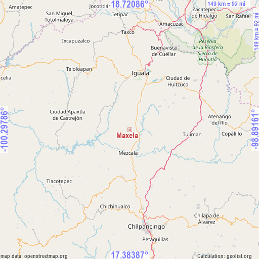
Maxela GPS coordinates[2]
18° 3' 13.104" North, 99° 35' 41.028" West
| Map corner | latitude | longitude |
|---|---|---|
| Upper-left | 18.72086°, | -100.29786° |
| Center: | 18.05364°, | -99.59473° |
| Lower-right: | 17.38387°, | -98.89161° |
| Map W x H: | 148.7×148.7 km | = 92.4×92.4mi |
| max Lat: | 32.7° ⇑78.1% North |
| Maxela: | 18.05364° |
| min Lat: | ⇓21.9% South 14.53588° |
| min Long | Maxela | max Long |
| -117.105° | -99.59473° | -86.73105° |
| W 41.5%⇐ | ⇒58.5% E |
Elevation
Elevation of Maxela is 939 m = 3081 ft, and this is 314.7 m = 1032 ft below average elevation for this country.
| Max E: |
3497 m = 11473 ft | 61% |
| Avg. | 1253.7 m = 4113 ft | |
| Maxela | 939 m = 3081 ft | |
Min E: |
-1 m = -3 ft | 39% |
See also: Mexico elevation on elevation.city.
Geographical zone
Maxela is located in North Torrid zone (between Equator and Tropic of Cancer). Distance of this Northern Tropic circle is 598.5 km =371.9 mi to North.| Distance of | km | miles | from Maxela |
|---|---|---|---|
| North Pole | 7999.7 | 4970.8 | to North |
| Arctic Circle | 5393.8 | 3351.6 | to North |
| Tropic Cancer | 598.5 | 371.9 | to North |
| Equator | 2007.4 | 1247.3 | to South |


Nearby cities:
15 places around Maxela: (largest is in red/bold)
• Ahuehuepan
11.3 km =7 mi,  117°
117°
• Ahuelicán
13.1 km =8.1 mi,  104°
104°
• Ameyaltepec
13.3 km =8.3 mi,  136°
136°
• Atzcala
11.1 km =6.9 mi,  220°
220°
• Coacoyula de Álvarez
4.5 km =2.8 mi,  303°
303°
• Mezcala
13.5 km =8.4 mi,  183°
183°
• Palula
7.5 km =4.7 mi,  51°
51°
• Sabana Grande
12.5 km =7.8 mi,  22°
22°
• San Juan Tetelcingo
16.7 km =10.4 mi,  151°
151°
• Sasamulco
11.8 km =7.3 mi,  9°
9°
• Tecuexcontitlán (Tecoescontitlán)
10 km =6.2 mi, 10°
• Tlamamacan
16.2 km =10.1 mi, 153°
• Tonalapa del Sur
6.2 km =3.9 mi,  37°
37°
• Venta de Palula
7.9 km =4.9 mi, 36°
• Xalitla
8.2 km =5.1 mi, 139°
Sources, notices
• [Note1] Compared only with cities in Mexico existing in our database
• [Src1] Map data: © OpenStreetMap contributors (CC-BY-SA)
• [Src2] Other city data from geonames.org with taken over terms of usage.
• [Src3] Geographical zone / Annual Mean Temperature by Robert A. Rohde @ Wikipedia
