Las Cruces geodata
Las Cruces (Jalisco) is a populated place; located in Mexico in America/Mexico_City (GMT-6) time zone. With population of 640 people, there are 13529 cities with bigger population in this country. Compared to other cities in Mexico, 76.8% of cities are located further ↓South; 86.1% of cities are located further →East and 70.3% of cities have lower elevation than Las Cruces. Note1


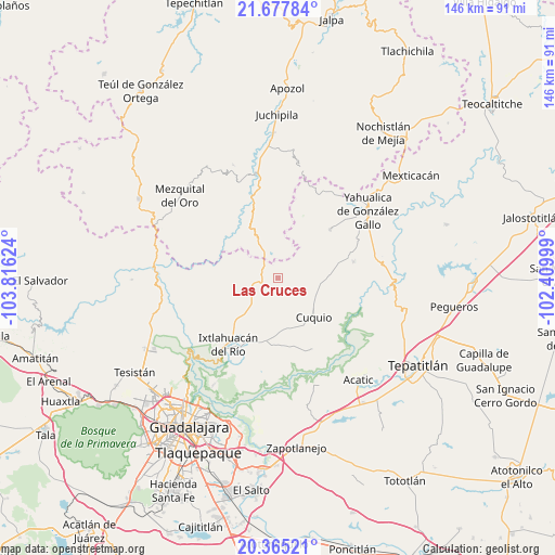
Las Cruces GPS coordinates[2]
21° 1' 22.692" North, 103° 6' 47.196" West
| Map corner | latitude | longitude |
|---|---|---|
| Upper-left | 21.67784°, | -103.81624° |
| Center: | 21.02297°, | -103.11311° |
| Lower-right: | 20.36521°, | -102.40999° |
| Map W x H: | 146×146 km | = 90.7×90.7mi |
| max Lat: | 32.7° ⇑23.2% North |
| Las Cruces: | 21.02297° |
| min Lat: | ⇓76.8% South 14.53588° |
| min Long | Las Cruces | max Long |
| -117.105° | -103.11311° | -86.73105° |
| W 13.9%⇐ | ⇒86.1% E |
Elevation
Elevation of Las Cruces is 1930 m = 6332 ft, and this is 676.3 m = 2219 ft above average elevation for this country.
| Max E: |
3497 m = 11473 ft | 29.7% |
| Las Cruces | 1930 m 6332 ft | |
| Avg. | 1253.7 m = 4113 ft | |
Min E: |
-1 m = -3 ft | 70.3% |
See also: Mexico elevation on elevation.city.
Geographical zone
Las Cruces is located in North Torrid zone (between Equator and Tropic of Cancer). Distance of this Northern Tropic circle is 268.4 km =166.8 mi to North.| Distance of | km | miles | from Las Cruces |
|---|---|---|---|
| North Pole | 7669.5 | 4765.6 | to North |
| Arctic Circle | 5063.6 | 3146.4 | to North |
| Tropic Cancer | 268.4 | 166.8 | to North |
| Equator | 2337.5 | 1452.5 | to South |


Nearby cities:
15 places around Las Cruces: (largest is in red/bold)
• Cuquío
13.6 km =8.5 mi,  139°
139°
• Huisquilco
18.6 km =11.6 mi,  47°
47°
• Ixtlahuacán del Río
22.1 km =13.7 mi,  216°
216°
• Juchitlán
6.6 km =4.1 mi,  72°
72°
• La Esperanza
18.7 km =11.6 mi,  149°
149°
• Lázaro Cárdenas
12.8 km =8 mi,  132°
132°
• Manalisco
20.2 km =12.6 mi,  78°
78°
• Moyahua de Estrada
27.6 km =17.1 mi,  348°
348°
• Palos Altos
17.4 km =10.8 mi,  193°
193°
• San Antonio de los Vázquez
23.1 km =14.4 mi, 188°
• San Gabriel
10.3 km =6.4 mi,  92°
92°
• San Juan del Monte
11.9 km =7.4 mi, 186°
• Tacotlán
24 km =14.9 mi,  199°
199°
• Teponahuasco
14.8 km =9.2 mi, 148°
• Trejos
26.9 km =16.7 mi, 198°
Sources, notices
• [Note1] Compared only with cities in Mexico existing in our database
• [Src1] Map data: © OpenStreetMap contributors (CC-BY-SA)
• [Src2] Other city data from geonames.org with taken over terms of usage.
• [Src3] Geographical zone / Annual Mean Temperature by Robert A. Rohde @ Wikipedia
