San Juan del Monte geodata
San Juan del Monte (Jalisco) is a populated place; located in Mexico in America/Mexico_City (GMT-6) time zone. With population of 642 people, there are 13481 cities with bigger population in this country. Compared to other cities in Mexico, 75.2% of cities are located further ↓South; 86.2% of cities are located further →East and 63.4% of cities have lower elevation than San Juan del Monte. Note1


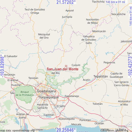
San Juan del Monte GPS coordinates[2]
20° 55' 0.048" North, 103° 7' 36.66" West
| Map corner | latitude | longitude |
|---|---|---|
| Upper-left | 21.57202°, | -103.82998° |
| Center: | 20.91668°, | -103.12685° |
| Lower-right: | 20.25846°, | -102.42373° |
| Map W x H: | 146.1×146.1 km | = 90.8×90.8mi |
| max Lat: | 32.7° ⇑24.8% North |
| San Juan del Monte: | 20.91668° |
| min Lat: | ⇓75.2% South 14.53588° |
| min Long | San Juan del Mo | max Long |
| -117.105° | -103.12685° | -86.73105° |
| W 13.8%⇐ | ⇒86.2% E |
Elevation
Elevation of San Juan del Monte is 1788 m = 5866 ft, and this is 534.3 m = 1753 ft above average elevation for this country.
| Max E: |
3497 m = 11473 ft | 36.6% |
| San Juan del Monte | 1788 m 5866 ft | |
| Avg. | 1253.7 m = 4113 ft | |
Min E: |
-1 m = -3 ft | 63.4% |
See also: Mexico elevation on elevation.city.
Geographical zone
San Juan del Monte is located in North Torrid zone (between Equator and Tropic of Cancer). Distance of this Northern Tropic circle is 280.2 km =174.1 mi to North.| Distance of | km | miles | from San Juan del Monte |
|---|---|---|---|
| North Pole | 7681.3 | 4772.9 | to North |
| Arctic Circle | 5075.5 | 3153.8 | to North |
| Tropic Cancer | 280.2 | 174.1 | to North |
| Equator | 2325.7 | 1445.1 | to South |


Nearby cities:
15 places around San Juan del Monte: (largest is in red/bold)
• Cuquío
10.4 km =6.5 mi,  81°
81°
• Ixtlahuacán del Río
13.2 km =8.2 mi,  243°
243°
• Juchitlán
15.8 km =9.8 mi,  29°
29°
• La Esperanza
11.7 km =7.3 mi,  112°
112°
• La Purísima
25.8 km =16 mi,  157°
157°
• Las Cruces
11.9 km =7.4 mi,  6°
6°
• Lázaro Cárdenas
11.3 km =7 mi,  73°
73°
• Mascuala
22.8 km =14.2 mi,  223°
223°
• Matatlán
23.1 km =14.4 mi,  185°
185°
• Palos Altos
5.7 km =3.5 mi,  208°
208°
• San Antonio de los Vázquez
11.2 km =7 mi, 190°
• San Gabriel
16.3 km =10.1 mi,  45°
45°
• Tacotlán
12.6 km =7.8 mi, 210°
• Teponahuasco
9.1 km =5.7 mi,  95°
95°
• Trejos
15.4 km =9.6 mi, 208°
Sources, notices
• [Note1] Compared only with cities in Mexico existing in our database
• [Src1] Map data: © OpenStreetMap contributors (CC-BY-SA)
• [Src2] Other city data from geonames.org with taken over terms of usage.
• [Src3] Geographical zone / Annual Mean Temperature by Robert A. Rohde @ Wikipedia
