Apozolco geodata
Apozolco (Nayarit) is a populated place; located in Mexico in America/Mexico_City (GMT-6) time zone. With population of 680 people, there are 12778 cities with bigger population in this country. Compared to other cities in Mexico, 81% of cities are located further ↓South; 89.7% of cities are located further →East and 65% of cities have higher elevation than Apozolco. Note1


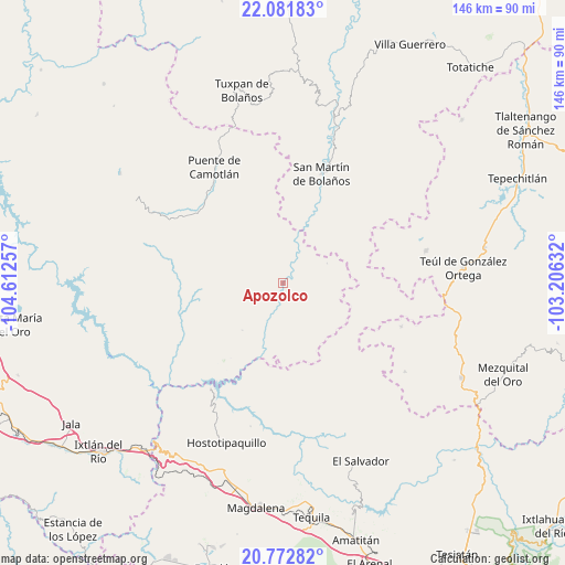
Apozolco GPS coordinates[2]
21° 25' 43.644" North, 103° 54' 33.984" West
| Map corner | latitude | longitude |
|---|---|---|
| Upper-left | 22.08183°, | -104.61257° |
| Center: | 21.42879°, | -103.90944° |
| Lower-right: | 20.77282°, | -103.20632° |
| Map W x H: | 145.5×145.6 km | = 90.4×90.5mi |
| max Lat: | 32.7° ⇑19% North |
| Apozolco: | 21.42879° |
| min Lat: | ⇓81% South 14.53588° |
| min Long | Apozolco | max Long |
| -117.105° | -103.90944° | -86.73105° |
| W 10.3%⇐ | ⇒89.7% E |
Elevation
Elevation of Apozolco is 686 m = 2251 ft, and this is 567.7 m = 1863 ft below average elevation for this country.
| Max E: |
3497 m = 11473 ft | 65% |
| Avg. | 1253.7 m = 4113 ft | |
| Apozolco | 686 m = 2251 ft | |
Min E: |
-1 m = -3 ft | 35% |
See also: Mexico elevation on elevation.city.
Geographical zone
Apozolco is located in North Torrid zone (between Equator and Tropic of Cancer). Distance of this Northern Tropic circle is 223.3 km =138.8 mi to North.| Distance of | km | miles | from Apozolco |
|---|---|---|---|
| North Pole | 7624.4 | 4737.6 | to North |
| Arctic Circle | 5018.5 | 3118.4 | to North |
| Tropic Cancer | 223.3 | 138.8 | to North |
| Equator | 2382.7 | 1480.5 | to South |


Nearby cities:
15 places around Apozolco: (largest is in red/bold)
• Bolaños
46.7 km =29 mi,  16°
16°
• Chimaltitán
41.2 km =25.6 mi, 18°
• El Llano de los Vela
47.7 km =29.6 mi,  180°
180°
• El Tepec
47.9 km =29.8 mi, 16°
• Florencia
37.8 km =23.5 mi,  77°
77°
• Hostotipaquillo
43.5 km =27 mi,  199°
199°
• Huitzila
38.8 km =24.1 mi,  126°
126°
• La Mesa de Flores
32.8 km =20.4 mi,  214°
214°
• La Yesca
16.2 km =10.1 mi,  220°
220°
• Mesa del Tirador
37.5 km =23.3 mi,  334°
334°
• Milpillas de Allende
32.5 km =20.2 mi,  110°
110°
• Puente de Camotlán
34.8 km =21.6 mi, 329°
• San Martín de Bolaños
29.9 km =18.6 mi, 19°
• Tepizuac
35.4 km =22 mi,  51°
51°
• Teúl de González Ortega
46.5 km =28.9 mi,  85°
85°
Sources, notices
• [Note1] Compared only with cities in Mexico existing in our database
• [Src1] Map data: © OpenStreetMap contributors (CC-BY-SA)
• [Src2] Other city data from geonames.org with taken over terms of usage.
• [Src3] Geographical zone / Annual Mean Temperature by Robert A. Rohde @ Wikipedia
