La Mesa de Flores geodata
La Mesa de Flores (Jalisco) is a populated place; located in Mexico in America/Mexico_City (GMT-6) time zone. With population of 785 people, there are 11128 cities with bigger population in this country. Compared to other cities in Mexico, 79% of cities are located further ↓South; 90.2% of cities are located further →East and 63.7% of cities have higher elevation than La Mesa de Flores. Note1


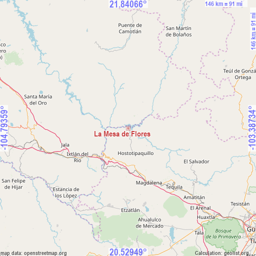
La Mesa de Flores GPS coordinates[2]
21° 11' 11.508" North, 104° 5' 25.656" West
| Map corner | latitude | longitude |
|---|---|---|
| Upper-left | 21.84066°, | -104.79359° |
| Center: | 21.18653°, | -104.09046° |
| Lower-right: | 20.52949°, | -103.38734° |
| Map W x H: | 145.8×145.8 km | = 90.6×90.6mi |
| max Lat: | 32.7° ⇑21% North |
| La Mesa de Flores: | 21.18653° |
| min Lat: | ⇓79% South 14.53588° |
| min Long | La Mesa de Flor | max Long |
| -117.105° | -104.09046° | -86.73105° |
| W 9.8%⇐ | ⇒90.2% E |
Elevation
Elevation of La Mesa de Flores is 766 m = 2513 ft, and this is 487.7 m = 1600 ft below average elevation for this country.
| Max E: |
3497 m = 11473 ft | 63.7% |
| Avg. | 1253.7 m = 4113 ft | |
| La Mesa de Flores | 766 m = 2513 ft | |
Min E: |
-1 m = -3 ft | 36.3% |
See also: Mexico elevation on elevation.city.
Geographical zone
La Mesa de Flores is located in North Torrid zone (between Equator and Tropic of Cancer). Distance of this Northern Tropic circle is 250.2 km =155.5 mi to North.| Distance of | km | miles | from La Mesa de Flores |
|---|---|---|---|
| North Pole | 7651.3 | 4754.3 | to North |
| Arctic Circle | 5045.5 | 3135.1 | to North |
| Tropic Cancer | 250.2 | 155.5 | to North |
| Equator | 2355.7 | 1463.8 | to South |


Nearby cities:
15 places around La Mesa de Flores: (largest is in red/bold)
• Apozolco
32.8 km =20.4 mi,  34°
34°
• El Llano de los Vela
27.6 km =17.1 mi,  138°
138°
• Francisco I. Madero (La Bolsa)
26.7 km =16.6 mi,  247°
247°
• Hostotipaquillo
14.6 km =9.1 mi,  163°
163°
• La Cofradía
25.6 km =15.9 mi, 249°
• La Quemada
24.3 km =15.1 mi,  169°
169°
• La Venta de Nochitiltic
19.6 km =12.2 mi,  197°
197°
• La Yesca
16.8 km =10.4 mi, 29°
• Los Aguajes
28.8 km =17.9 mi, 252°
• Magdalena
33.2 km =20.6 mi, 159°
• Rosa Blanca
28.6 km =17.8 mi,  256°
256°
• San Andrés
29.1 km =18.1 mi,  179°
179°
• San Miguel de Buenavista
27.8 km =17.3 mi, 250°
• San Simón
23.4 km =14.5 mi, 159°
• Santo Tomás
21.3 km =13.2 mi,  186°
186°
Sources, notices
• [Note1] Compared only with cities in Mexico existing in our database
• [Src1] Map data: © OpenStreetMap contributors (CC-BY-SA)
• [Src2] Other city data from geonames.org with taken over terms of usage.
• [Src3] Geographical zone / Annual Mean Temperature by Robert A. Rohde @ Wikipedia
