Yepachic geodata
Yepachic (Chihuahua) is a populated place; located in Mexico in America/Chihuahua (GMT-6) time zone. With population of 750 people, there are 11679 cities with bigger population in this country. Compared to other cities in Mexico, 97.7% of cities are located further ↓South; 96.1% of cities are located further →East and 63.3% of cities have lower elevation than Yepachic. Note1


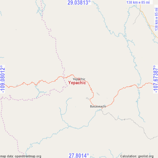
Yepachic GPS coordinates[2]
28° 25' 17.652" North, 108° 22' 37.164" West
| Map corner | latitude | longitude |
|---|---|---|
| Upper-left | 29.03813°, | -109.08012° |
| Center: | 28.42157°, | -108.37699° |
| Lower-right: | 27.8014°, | -107.67387° |
| Map W x H: | 137.5×137.5 km | = 85.4×85.4mi |
| max Lat: | 32.7° ⇑2.3% North |
| Yepachic: | 28.42157° |
| min Lat: | ⇓97.7% South 14.53588° |
| min Long | Yepachic | max Long |
| -117.105° | -108.37699° | -86.73105° |
| W 3.9%⇐ | ⇒96.1% E |
Elevation
Elevation of Yepachic is 1785 m = 5856 ft, and this is 531.3 m = 1743 ft above average elevation for this country.
| Max E: |
3497 m = 11473 ft | 36.7% |
| Yepachic | 1785 m 5856 ft | |
| Avg. | 1253.7 m = 4113 ft | |
Min E: |
-1 m = -3 ft | 63.3% |
See also: Mexico elevation on elevation.city.
Geographical zone
Yepachic is located in North temperate zone (between Tropic of Cancer and the Arctic Circle). Distance of this Northern Tropic circle is 554.3 km =344.4 mi to South.| Distance of | km | miles | from Yepachic |
|---|---|---|---|
| North Pole | 6846.9 | 4254.5 | to North |
| Arctic Circle | 4241 | 2635.2 | to North |
| Tropic Cancer | 554.3 | 344.4 | to South |
| Equator | 3160.2 | 1963.7 | to South |


Nearby cities:
15 places around Yepachic: (largest is in red/bold)
• Basaseachic
28.8 km =17.9 mi,  146°
146°
• Cajurichic
42.8 km =26.6 mi, 146°
• Guerrero
88.4 km =54.9 mi,  80°
80°
• Madera
88.7 km =55.1 mi,  14°
14°
• Maguarichi
73 km =45.4 mi, 149°
• Matachí
76.7 km =47.7 mi,  52°
52°
• Maycoba
27.8 km =17.3 mi,  263°
263°
• Moris
33.5 km =20.8 mi,  205°
205°
• Ocampo
25.4 km =15.8 mi,  177°
177°
• Santo Tomás
83.7 km =52 mi,  69°
69°
• Tacuba
88.8 km =55.2 mi,  95°
95°
• Temósachic
79.8 km =49.6 mi,  42°
42°
• Tomochic
52.5 km =32.6 mi, 98°
• Uruachi
63.7 km =39.6 mi,  165°
165°
• Yécora
54.2 km =33.7 mi, 264°
Sources, notices
• [Note1] Compared only with cities in Mexico existing in our database
• [Src1] Map data: © OpenStreetMap contributors (CC-BY-SA)
• [Src2] Other city data from geonames.org with taken over terms of usage.
• [Src3] Geographical zone / Annual Mean Temperature by Robert A. Rohde @ Wikipedia
