San Martín geodata
San Martín (Zacatecas) is a populated place; located in Mexico in America/Mexico_City (GMT-6) time zone. With population of 781 people, there are 11181 cities with bigger population in this country. Compared to other cities in Mexico, 85.3% of cities are located further ↓South; 76.2% of cities are located further →East and 78% of cities have lower elevation than San Martín. Note1


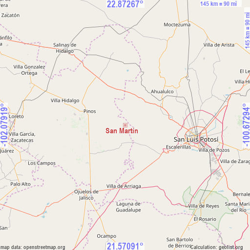
San Martín GPS coordinates[2]
22° 13' 23.88" North, 101° 22' 33.816" West
| Map corner | latitude | longitude |
|---|---|---|
| Upper-left | 22.87267°, | -102.07919° |
| Center: | 22.2233°, | -101.37606° |
| Lower-right: | 21.57091°, | -100.67294° |
| Map W x H: | 144.7×144.7 km | = 89.9×89.9mi |
| max Lat: | 32.7° ⇑14.7% North |
| San Martín: | 22.2233° |
| min Lat: | ⇓85.3% South 14.53588° |
| min Long | San Martín | max Long |
| -117.105° | -101.37606° | -86.73105° |
| W 23.8%⇐ | ⇒76.2% E |
Elevation
Elevation of San Martín is 2089 m = 6854 ft, and this is 835.3 m = 2740 ft above average elevation for this country.
| Max E: |
3497 m = 11473 ft | 22% |
| San Martín | 2089 m 6854 ft | |
| Avg. | 1253.7 m = 4113 ft | |
Min E: |
-1 m = -3 ft | 78% |
See also: Mexico elevation on elevation.city.
Geographical zone
San Martín is located in North Torrid zone (between Equator and Tropic of Cancer). Distance of this Northern Tropic circle is 134.9 km =83.8 mi to North.| Distance of | km | miles | from San Martín |
|---|---|---|---|
| North Pole | 7536.1 | 4682.7 | to North |
| Arctic Circle | 4930.2 | 3063.5 | to North |
| Tropic Cancer | 134.9 | 83.8 | to North |
| Equator | 2471 | 1535.4 | to South |


Nearby cities:
15 places around San Martín: (largest is in red/bold)
• Ahijaderos
19.1 km =11.9 mi,  328°
328°
• Barrancas
18.3 km =11.4 mi,  50°
50°
• Cieneguilla
6 km =3.7 mi,  246°
246°
• Encarnación
20.2 km =12.6 mi,  18°
18°
• Guadalupe de los Sauces
16.6 km =10.3 mi, 334°
• José María Morelos
18 km =11.2 mi,  238°
238°
• La Estrella
18.7 km =11.6 mi,  215°
215°
• La Tapona
15.6 km =9.7 mi,  88°
88°
• Paso Bonito
16.3 km =10.1 mi, 46°
• Ranchería de Guadalupe
20.9 km =13 mi,  59°
59°
• Saldaña
19.6 km =12.2 mi,  352°
352°
• San José de Castellanos
22 km =13.7 mi,  234°
234°
• San Luis Gonzaga
19.2 km =11.9 mi,  153°
153°
• Santa Ana
21.3 km =13.2 mi, 331°
• Santa Teresa
19.6 km =12.2 mi, 22°
Sources, notices
• [Note1] Compared only with cities in Mexico existing in our database
• [Src1] Map data: © OpenStreetMap contributors (CC-BY-SA)
• [Src2] Other city data from geonames.org with taken over terms of usage.
• [Src3] Geographical zone / Annual Mean Temperature by Robert A. Rohde @ Wikipedia
