La Punta geodata
La Punta (Jalisco) is a populated place; located in Mexico in America/Mexico_City (GMT-6) time zone. With population of 733 people, there are 11918 cities with bigger population in this country. Compared to other cities in Mexico, 83% of cities are located further ↓South; 80.6% of cities are located further →East and 75.5% of cities have lower elevation than La Punta. Note1


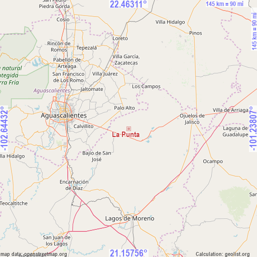
La Punta GPS coordinates[2]
21° 48' 42.552" North, 101° 56' 28.284" West
| Map corner | latitude | longitude |
|---|---|---|
| Upper-left | 22.46311°, | -102.64432° |
| Center: | 21.81182°, | -101.94119° |
| Lower-right: | 21.15756°, | -101.23807° |
| Map W x H: | 145.2×145.2 km | = 90.2×90.2mi |
| max Lat: | 32.7° ⇑17% North |
| La Punta: | 21.81182° |
| min Lat: | ⇓83% South 14.53588° |
| min Long | La Punta | max Long |
| -117.105° | -101.94119° | -86.73105° |
| W 19.4%⇐ | ⇒80.6% E |
Elevation
Elevation of La Punta is 2039 m = 6690 ft, and this is 785.3 m = 2576 ft above average elevation for this country.
| Max E: |
3497 m = 11473 ft | 24.5% |
| La Punta | 2039 m 6690 ft | |
| Avg. | 1253.7 m = 4113 ft | |
Min E: |
-1 m = -3 ft | 75.5% |
See also: Mexico elevation on elevation.city.
Geographical zone
La Punta is located in North Torrid zone (between Equator and Tropic of Cancer). Distance of this Northern Tropic circle is 180.7 km =112.3 mi to North.| Distance of | km | miles | from La Punta |
|---|---|---|---|
| North Pole | 7581.8 | 4711.1 | to North |
| Arctic Circle | 4975.9 | 3091.9 | to North |
| Tropic Cancer | 180.7 | 112.3 | to North |
| Equator | 2425.2 | 1506.9 | to South |


Nearby cities:
15 places around La Punta: (largest is in red/bold)
• Betulia
10 km =6.2 mi,  234°
234°
• Chinampas
13.3 km =8.3 mi,  77°
77°
• Cuautitlán
8.9 km =5.5 mi,  199°
199°
• El Tecuán
16.7 km =10.4 mi,  210°
210°
• Francisco Primo de Verdad (Ciénega de Mata)
14 km =8.7 mi,  122°
122°
• La Presa
13.6 km =8.5 mi,  107°
107°
• La Troje
9.7 km =6 mi,  156°
156°
• Los Azulitos
4.6 km =2.9 mi,  326°
326°
• Los Conos
11 km =6.8 mi, 329°
• Matamoros los Hoyos
8.8 km =5.5 mi,  287°
287°
• Montoya
8.5 km =5.3 mi, 330°
• Palo Alto
12.1 km =7.5 mi,  348°
348°
• San Cristóbal
14.5 km =9 mi,  179°
179°
• Santa Rosa (El Huizache)
16 km =9.9 mi, 328°
• Tacubaya
4.3 km =2.7 mi, 209°
Sources, notices
• [Note1] Compared only with cities in Mexico existing in our database
• [Src1] Map data: © OpenStreetMap contributors (CC-BY-SA)
• [Src2] Other city data from geonames.org with taken over terms of usage.
• [Src3] Geographical zone / Annual Mean Temperature by Robert A. Rohde @ Wikipedia
