La Palma geodata
La Palma (Michoacán) is a populated place; located in Mexico in America/Mexico_City (GMT-6) time zone. With population of 558 people, there are 15286 cities with bigger population in this country. Compared to other cities in Mexico, 51.8% of cities are located further ↑North; 83.1% of cities are located further →East and 82.7% of cities have lower elevation than La Palma. Note1


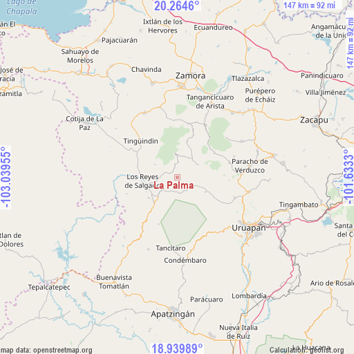
La Palma GPS coordinates[2]
19° 36' 12.996" North, 102° 20' 11.112" West
| Map corner | latitude | longitude |
|---|---|---|
| Upper-left | 20.2646°, | -103.03955° |
| Center: | 19.60361°, | -102.33642° |
| Lower-right: | 18.93989°, | -101.6333° |
| Map W x H: | 147.3×147.3 km | = 91.5×91.5mi |
| max Lat: | 32.7° ⇑51.8% North |
| La Palma: | 19.60361° |
| min Lat: | ⇓48.2% South 14.53588° |
| min Long | La Palma | max Long |
| -117.105° | -102.33642° | -86.73105° |
| W 16.9%⇐ | ⇒83.1% E |
Elevation
Elevation of La Palma is 2206 m = 7238 ft, and this is 952.3 m = 3124 ft above average elevation for this country.
| Max E: |
3497 m = 11473 ft | 17.3% |
| La Palma | 2206 m 7238 ft | |
| Avg. | 1253.7 m = 4113 ft | |
Min E: |
-1 m = -3 ft | 82.7% |
See also: Mexico elevation on elevation.city.
Geographical zone
La Palma is located in North Torrid zone (between Equator and Tropic of Cancer). Distance of this Northern Tropic circle is 426.2 km =264.8 mi to North.| Distance of | km | miles | from La Palma |
|---|---|---|---|
| North Pole | 7827.3 | 4863.7 | to North |
| Arctic Circle | 5221.5 | 3244.5 | to North |
| Tropic Cancer | 426.2 | 264.8 | to North |
| Equator | 2179.7 | 1354.4 | to South |


Nearby cities:
15 places around La Palma: (largest is in red/bold)
• Angahuán
13.2 km =8.2 mi,  118°
118°
• Atapán
10.6 km =6.6 mi,  299°
299°
• Charapán
10.3 km =6.4 mi,  59°
59°
• Cherato
3.3 km =2.1 mi,  330°
330°
• Corupo
10.7 km =6.6 mi,  86°
86°
• Gildardo Magaña (Los Ángeles)
14.2 km =8.8 mi,  244°
244°
• La Zarzamora
13.7 km =8.5 mi,  323°
323°
• Nuevo Zirosto
6.3 km =3.9 mi,  190°
190°
• Pamatácuaro
9.9 km =6.2 mi,  354°
354°
• Peribán de Ramos
12.3 km =7.6 mi,  221°
221°
• San Benito
11.6 km =7.2 mi,  7°
7°
• San Francisco Peribán
8.4 km =5.2 mi,  230°
230°
• Santa Ana Zirosto
7.7 km =4.8 mi,  170°
170°
• Zacán
6.6 km =4.1 mi,  129°
129°
• Zicuicho
6.6 km =4.1 mi,  2°
2°
Sources, notices
• [Note1] Compared only with cities in Mexico existing in our database
• [Src1] Map data: © OpenStreetMap contributors (CC-BY-SA)
• [Src2] Other city data from geonames.org with taken over terms of usage.
• [Src3] Geographical zone / Annual Mean Temperature by Robert A. Rohde @ Wikipedia
