San Benito geodata
San Benito (Michoacán) is a populated place; located in Mexico in America/Mexico_City (GMT-6) time zone. With population of 1,175 people, there are 7389 cities with bigger population in this country. Compared to other cities in Mexico, 50.6% of cities are located further ↓South; 83% of cities are located further →East and 94.9% of cities have lower elevation than San Benito. Note1


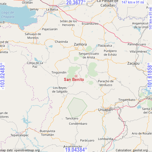
San Benito GPS coordinates[2]
19° 42' 25.704" North, 102° 19' 18.12" West
| Map corner | latitude | longitude |
|---|---|---|
| Upper-left | 20.3677°, | -103.02483° |
| Center: | 19.70714°, | -102.3217° |
| Lower-right: | 19.04384°, | -101.61858° |
| Map W x H: | 147.2×147.2 km | = 91.5×91.5mi |
| max Lat: | 32.7° ⇑49.4% North |
| San Benito: | 19.70714° |
| min Lat: | ⇓50.6% South 14.53588° |
| min Long | San Benito | max Long |
| -117.105° | -102.3217° | -86.73105° |
| W 17%⇐ | ⇒83% E |
Elevation
Elevation of San Benito is 2594 m = 8510 ft, and this is 1340.3 m = 4397 ft above average elevation for this country.
| Max E: |
3497 m = 11473 ft | 5.1% |
| San Benito | 2594 m 8510 ft | |
| Avg. | 1253.7 m = 4113 ft | |
Min E: |
-1 m = -3 ft | 94.9% |
See also: Mexico elevation on elevation.city.
Geographical zone
San Benito is located in North Torrid zone (between Equator and Tropic of Cancer). Distance of this Northern Tropic circle is 414.7 km =257.7 mi to North.| Distance of | km | miles | from San Benito |
|---|---|---|---|
| North Pole | 7815.8 | 4856.5 | to North |
| Arctic Circle | 5209.9 | 3237.3 | to North |
| Tropic Cancer | 414.7 | 257.7 | to North |
| Equator | 2191.2 | 1361.5 | to South |


Nearby cities:
15 places around San Benito: (largest is in red/bold)
• Atapán
12.5 km =7.8 mi,  239°
239°
• Chaniro (Xhaniro)
12 km =7.5 mi,  269°
269°
• Charapán
9.6 km =6 mi,  130°
130°
• Cherato
9.2 km =5.7 mi,  200°
200°
• Cocucho
13.9 km =8.6 mi,  95°
95°
• Corupo
14.2 km =8.8 mi,  140°
140°
• J. Jesús Díaz Tzirio
10.3 km =6.4 mi,  309°
309°
• La Palma
11.6 km =7.2 mi,  187°
187°
• La Tinaja
8.8 km =5.5 mi,  282°
282°
• La Zarzamora
9.6 km =6 mi, 267°
• Ocumicho
14.4 km =8.9 mi,  46°
46°
• Pamatácuaro
3 km =1.9 mi, 235°
• San Isidro
4.4 km =2.7 mi,  35°
35°
• Urengüitiro (San Martín)
5.1 km =3.2 mi,  21°
21°
• Zicuicho
5 km =3.1 mi, 193°
Sources, notices
• [Note1] Compared only with cities in Mexico existing in our database
• [Src1] Map data: © OpenStreetMap contributors (CC-BY-SA)
• [Src2] Other city data from geonames.org with taken over terms of usage.
• [Src3] Geographical zone / Annual Mean Temperature by Robert A. Rohde @ Wikipedia
