La Libertad geodata
La Libertad (Nayarit) is a populated place; located in Mexico in America/Mazatlan (GMT-7) time zone. With population of 1,581 people, there are 5458 cities with bigger population in this country. Compared to other cities in Mexico, 81.9% of cities are located further ↓South; 92.3% of cities are located further →East and 75.1% of cities have higher elevation than La Libertad. Note1


La Libertad GPS coordinates[2]
21° 35' 36.492" North, 105° 10' 25.14" West
| Map corner | latitude | longitude |
|---|---|---|
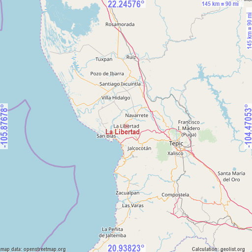
| Upper-left | 22.24576°, | -105.87678° |
| Center: | 21.59347°, | -105.17365° |
| Lower-right: | 20.93823°, | -104.47053° |
| Map W x H: | 145.4×145.4 km | = 90.3×90.3mi |
| max Lat: | 32.7° ⇑18.1% North |
| La Libertad: | 21.59347° |
| min Lat: | ⇓81.9% South 14.53588° |
| min Long | La Libertad | max Long |
| -117.105° | -105.17365° | -86.73105° |
| W 7.7%⇐ | ⇒92.3% E |
Elevation
Elevation of La Libertad is 220 m = 722 ft, and this is 1033.7 m = 3391 ft below average elevation for this country.
| Max E: |
3497 m = 11473 ft | 75.1% |
| Avg. | 1253.7 m = 4113 ft | |
| La Libertad | 220 m = 722 ft | |
Min E: |
-1 m = -3 ft | 24.9% |
See also: Mexico elevation on elevation.city.
Geographical zone
La Libertad is located in North Torrid zone (between Equator and Tropic of Cancer). Distance of this Northern Tropic circle is 205 km =127.4 mi to North.| Distance of | km | miles | from La Libertad |
|---|---|---|---|
| North Pole | 7606.1 | 4726.2 | to North |
| Arctic Circle | 5000.2 | 3107 | to North |
| Tropic Cancer | 205 | 127.4 | to North |
| Equator | 2401 | 1491.9 | to South |


Nearby cities:
15 places around La Libertad: (largest is in red/bold)
• Aticama
12.4 km =7.7 mi,  191°
191°
• Aután
17.5 km =10.9 mi,  307°
307°
• Cinco de Mayo
14 km =8.7 mi,  39°
39°
• El Corte
15.9 km =9.9 mi,  332°
332°
• Huaristemba
7.6 km =4.7 mi,  12°
12°
• Jalcocotán
14.7 km =9.1 mi,  148°
148°
• La Bajada
10.1 km =6.3 mi,  171°
171°
• La Goma
17.2 km =10.7 mi,  322°
322°
• La Palma
11.3 km =7 mi,  182°
182°
• La Yerba
15.1 km =9.4 mi,  121°
121°
• Mecatán
8.5 km =5.3 mi,  138°
138°
• Navarrete
8.6 km =5.3 mi, 44°
• Reforma Agraria
8 km =5 mi,  342°
342°
• San Blas
12.8 km =8 mi,  244°
244°
• Sauta
14.6 km =9.1 mi, 12°
Sources, notices
• [Note1] Compared only with cities in Mexico existing in our database
• [Src1] Map data: © OpenStreetMap contributors (CC-BY-SA)
• [Src2] Other city data from geonames.org with taken over terms of usage.
• [Src3] Geographical zone / Annual Mean Temperature by Robert A. Rohde @ Wikipedia
