El Llano geodata
El Llano (Michoacán) is a populated place; located in Mexico in America/Mexico_City (GMT-6) time zone. With population of 980 people, there are 8875 cities with bigger population in this country. Compared to other cities in Mexico, 57.6% of cities are located further ↓South; 83.4% of cities are located further →East and 54% of cities have lower elevation than El Llano. Note1


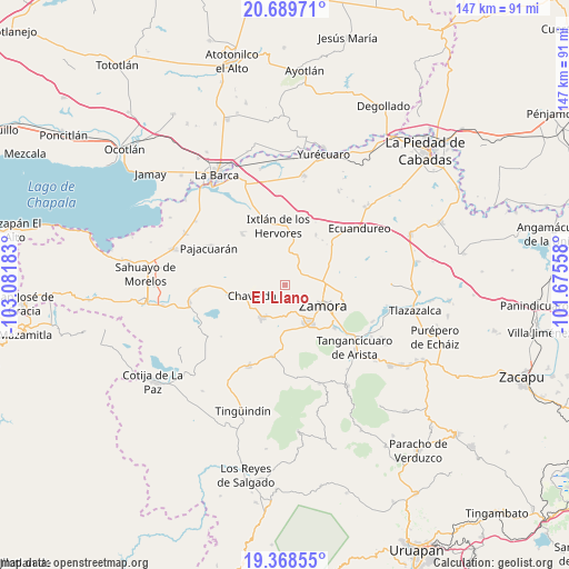
El Llano GPS coordinates[2]
20° 1' 49.872" North, 102° 22' 43.32" West
| Map corner | latitude | longitude |
|---|---|---|
| Upper-left | 20.68971°, | -103.08183° |
| Center: | 20.03052°, | -102.3787° |
| Lower-right: | 19.36855°, | -101.67558° |
| Map W x H: | 146.9×146.9 km | = 91.3×91.3mi |
| max Lat: | 32.7° ⇑42.4% North |
| El Llano: | 20.03052° |
| min Lat: | ⇓57.6% South 14.53588° |
| min Long | El Llano | max Long |
| -117.105° | -102.3787° | -86.73105° |
| W 16.6%⇐ | ⇒83.4% E |
Elevation
Elevation of El Llano is 1562 m = 5125 ft, and this is 308.3 m = 1011 ft above average elevation for this country.
| Max E: |
3497 m = 11473 ft | 46% |
| El Llano | 1562 m 5125 ft | |
| Avg. | 1253.7 m = 4113 ft | |
Min E: |
-1 m = -3 ft | 54% |
See also: Mexico elevation on elevation.city.
Geographical zone
El Llano is located in North Torrid zone (between Equator and Tropic of Cancer). Distance of this Northern Tropic circle is 378.7 km =235.3 mi to North.| Distance of | km | miles | from El Llano |
|---|---|---|---|
| North Pole | 7779.9 | 4834.2 | to North |
| Arctic Circle | 5174 | 3215 | to North |
| Tropic Cancer | 378.7 | 235.3 | to North |
| Equator | 2227.2 | 1383.9 | to South |


Nearby cities:
15 places around El Llano: (largest is in red/bold)
• Ario de Rayón
3.2 km =2 mi,  97°
97°
• Chavinda
8.9 km =5.5 mi,  252°
252°
• Churintzio
11.1 km =6.9 mi,  234°
234°
• El Cerrito de Catipuato (Cerrito de Ortiz)
10.1 km =6.3 mi,  89°
89°
• El Colongo
8.1 km =5 mi,  5°
5°
• El Tepehuaje
4.9 km =3 mi,  335°
335°
• La Esperanza
4.4 km =2.7 mi,  309°
309°
• La Estanzuela
9.9 km =6.2 mi, 5°
• La Rinconoda
9.5 km =5.9 mi,  81°
81°
• La Sauceda
7.9 km =4.9 mi,  26°
26°
• Rancho Nuevo (Joyas del Pedregal)
7.4 km =4.6 mi,  159°
159°
• Rincón del Mezquite
8.2 km =5.1 mi,  328°
328°
• Santiago Tangamandapio
10.2 km =6.3 mi,  215°
215°
• Telonzo
9.9 km =6.2 mi, 228°
• Zamora
11.1 km =6.9 mi,  116°
116°
Sources, notices
• [Note1] Compared only with cities in Mexico existing in our database
• [Src1] Map data: © OpenStreetMap contributors (CC-BY-SA)
• [Src2] Other city data from geonames.org with taken over terms of usage.
• [Src3] Geographical zone / Annual Mean Temperature by Robert A. Rohde @ Wikipedia
