La Estanzuela geodata
La Estanzuela (Michoacán) is a populated place; located in Mexico in America/Mexico_City (GMT-6) time zone. With population of 884 people, there are 9870 cities with bigger population in this country. Compared to other cities in Mexico, 59.6% of cities are located further ↓South; 83.4% of cities are located further →East and 54% of cities have lower elevation than La Estanzuela. Note1


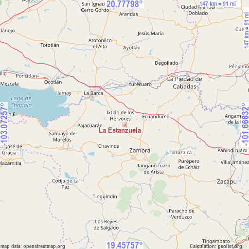
La Estanzuela GPS coordinates[2]
20° 7' 9.012" North, 102° 22' 9.984" West
| Map corner | latitude | longitude |
|---|---|---|
| Upper-left | 20.77798°, | -103.07257° |
| Center: | 20.11917°, | -102.36944° |
| Lower-right: | 19.45757°, | -101.66632° |
| Map W x H: | 146.8×146.8 km | = 91.2×91.2mi |
| max Lat: | 32.7° ⇑40.4% North |
| La Estanzuela: | 20.11917° |
| min Lat: | ⇓59.6% South 14.53588° |
| min Long | La Estanzuela | max Long |
| -117.105° | -102.36944° | -86.73105° |
| W 16.6%⇐ | ⇒83.4% E |
Elevation
Elevation of La Estanzuela is 1562 m = 5125 ft, and this is 308.3 m = 1011 ft above average elevation for this country.
| Max E: |
3497 m = 11473 ft | 46% |
| La Estanzuela | 1562 m 5125 ft | |
| Avg. | 1253.7 m = 4113 ft | |
Min E: |
-1 m = -3 ft | 54% |
See also: Mexico elevation on elevation.city.
Geographical zone
La Estanzuela is located in North Torrid zone (between Equator and Tropic of Cancer). Distance of this Northern Tropic circle is 368.9 km =229.2 mi to North.| Distance of | km | miles | from La Estanzuela |
|---|---|---|---|
| North Pole | 7770 | 4828.1 | to North |
| Arctic Circle | 5164.1 | 3208.8 | to North |
| Tropic Cancer | 368.9 | 229.2 | to North |
| Equator | 2237 | 1390 | to South |


Nearby cities:
15 places around La Estanzuela: (largest is in red/bold)
• Ario de Rayón
10.5 km =6.5 mi,  167°
167°
• Camucuato
8.8 km =5.5 mi,  313°
313°
• El Colesio
7.8 km =4.8 mi,  65°
65°
• El Colongo
1.8 km =1.1 mi,  187°
187°
• El Limón
5.3 km =3.3 mi,  304°
304°
• El Llano
9.9 km =6.2 mi, 185°
• El Salitre
5.4 km =3.4 mi,  354°
354°
• El Tepehuaje
6.2 km =3.9 mi,  209°
209°
• El Valenciano
9.7 km =6 mi,  289°
289°
• Ixtlán de los Hervores
6.1 km =3.8 mi,  334°
334°
• La Angostura
11.4 km =7.1 mi,  318°
318°
• La Esperanza
8.3 km =5.2 mi, 211°
• La Plaza del Limón
6.7 km =4.2 mi, 285°
• La Sauceda
3.8 km =2.4 mi,  137°
137°
• Rincón del Mezquite
6 km =3.7 mi,  241°
241°
Sources, notices
• [Note1] Compared only with cities in Mexico existing in our database
• [Src1] Map data: © OpenStreetMap contributors (CC-BY-SA)
• [Src2] Other city data from geonames.org with taken over terms of usage.
• [Src3] Geographical zone / Annual Mean Temperature by Robert A. Rohde @ Wikipedia
