Acuitzeramo geodata
Acuitzeramo (Michoacán) is a populated place; located in Mexico in America/Mexico_City (GMT-6) time zone. With population of 596 people, there are 14429 cities with bigger population in this country. Compared to other cities in Mexico, 56.9% of cities are located further ↓South; 80.8% of cities are located further →East and 71.3% of cities have lower elevation than Acuitzeramo. Note1


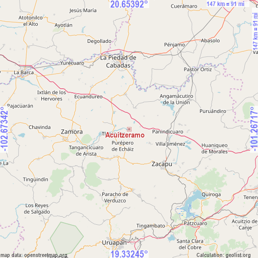
Acuitzeramo GPS coordinates[2]
19° 59' 40.452" North, 101° 58' 13.044" West
| Map corner | latitude | longitude |
|---|---|---|
| Upper-left | 20.65392°, | -102.67342° |
| Center: | 19.99457°, | -101.97029° |
| Lower-right: | 19.33245°, | -101.26717° |
| Map W x H: | 146.9×146.9 km | = 91.3×91.3mi |
| max Lat: | 32.7° ⇑43.1% North |
| Acuitzeramo: | 19.99457° |
| min Lat: | ⇓56.9% South 14.53588° |
| min Long | Acuitzeramo | max Long |
| -117.105° | -101.97029° | -86.73105° |
| W 19.2%⇐ | ⇒80.8% E |
Elevation
Elevation of Acuitzeramo is 1951 m = 6401 ft, and this is 697.3 m = 2288 ft above average elevation for this country.
| Max E: |
3497 m = 11473 ft | 28.7% |
| Acuitzeramo | 1951 m 6401 ft | |
| Avg. | 1253.7 m = 4113 ft | |
Min E: |
-1 m = -3 ft | 71.3% |
See also: Mexico elevation on elevation.city.
Geographical zone
Acuitzeramo is located in North Torrid zone (between Equator and Tropic of Cancer). Distance of this Northern Tropic circle is 382.7 km =237.8 mi to North.| Distance of | km | miles | from Acuitzeramo |
|---|---|---|---|
| North Pole | 7783.9 | 4836.7 | to North |
| Arctic Circle | 5178 | 3217.5 | to North |
| Tropic Cancer | 382.7 | 237.8 | to North |
| Equator | 2223.2 | 1381.4 | to South |


Nearby cities:
15 places around Acuitzeramo: (largest is in red/bold)
• Carapán
16.5 km =10.3 mi,  204°
204°
• Caurio de Guadalupe
13.9 km =8.6 mi,  124°
124°
• Caurio de la Rinconada
15.2 km =9.4 mi, 123°
• Ichán
17.5 km =10.9 mi,  210°
210°
• La Luz
17.5 km =10.9 mi,  26°
26°
• La Yerbabuena
4.8 km =3 mi,  272°
272°
• Los Llanos
18.4 km =11.4 mi,  181°
181°
• Penjamillo de Degollado
12.7 km =7.9 mi,  17°
17°
• Purépero de Echáiz
10.1 km =6.3 mi, 201°
• San Antonio Carupo
6.4 km =4 mi,  76°
76°
• San Miguel Epejan
18 km =11.2 mi,  63°
63°
• Tacuro (Santa María Tacuro)
17.5 km =10.9 mi, 208°
• Tirimácuaro (Valanciana)
14 km =8.7 mi, 27°
• Tlazazalca
9.6 km =6 mi,  254°
254°
• Ziquítaro
11.2 km =7 mi,  48°
48°
Sources, notices
• [Note1] Compared only with cities in Mexico existing in our database
• [Src1] Map data: © OpenStreetMap contributors (CC-BY-SA)
• [Src2] Other city data from geonames.org with taken over terms of usage.
• [Src3] Geographical zone / Annual Mean Temperature by Robert A. Rohde @ Wikipedia
