Ziquítaro geodata
Ziquítaro (Michoacán) is a populated place; located in Mexico in America/Mexico_City (GMT-6) time zone. With population of 1,823 people, there are 4774 cities with bigger population in this country. Compared to other cities in Mexico, 58.4% of cities are located further ↓South; 80.2% of cities are located further →East and 64.9% of cities have lower elevation than Ziquítaro. Note1


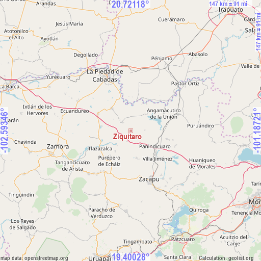
Ziquítaro GPS coordinates[2]
20° 3' 43.632" North, 101° 53' 25.188" West
| Map corner | latitude | longitude |
|---|---|---|
| Upper-left | 20.72118°, | -102.59346° |
| Center: | 20.06212°, | -101.89033° |
| Lower-right: | 19.40028°, | -101.18721° |
| Map W x H: | 146.9×146.9 km | = 91.3×91.3mi |
| max Lat: | 32.7° ⇑41.6% North |
| Ziquítaro: | 20.06212° |
| min Lat: | ⇓58.4% South 14.53588° |
| min Long | Ziquítaro | max Long |
| -117.105° | -101.89033° | -86.73105° |
| W 19.8%⇐ | ⇒80.2% E |
Elevation
Elevation of Ziquítaro is 1826 m = 5991 ft, and this is 572.3 m = 1878 ft above average elevation for this country.
| Max E: |
3497 m = 11473 ft | 35.1% |
| Ziquítaro | 1826 m 5991 ft | |
| Avg. | 1253.7 m = 4113 ft | |
Min E: |
-1 m = -3 ft | 64.9% |
See also: Mexico elevation on elevation.city.
Geographical zone
Ziquítaro is located in North Torrid zone (between Equator and Tropic of Cancer). Distance of this Northern Tropic circle is 375.2 km =233.1 mi to North.| Distance of | km | miles | from Ziquítaro |
|---|---|---|---|
| North Pole | 7776.4 | 4832 | to North |
| Arctic Circle | 5170.5 | 3212.8 | to North |
| Tropic Cancer | 375.2 | 233.1 | to North |
| Equator | 2230.7 | 1386.1 | to South |


Nearby cities:
15 places around Ziquítaro: (largest is in red/bold)
• Acuitzeramo
11.2 km =7 mi,  228°
228°
• Caurio de Guadalupe
15.6 km =9.7 mi,  168°
168°
• El Colorado
12.8 km =8 mi,  337°
337°
• Guándaro
14.5 km =9 mi,  6°
6°
• J. Trinidad Regalado (La Colonia)
15.2 km =9.4 mi,  103°
103°
• La Luz
8.2 km =5.1 mi,  356°
356°
• La Palma
16 km =9.9 mi,  77°
77°
• La Tepuza
14.1 km =8.8 mi,  345°
345°
• La Yerbabuena
15 km =9.3 mi,  240°
240°
• Patambarillo
8.8 km =5.5 mi,  25°
25°
• Penjamillo de Degollado
6.6 km =4.1 mi,  315°
315°
• San Antonio Carupo
6.4 km =4 mi,  199°
199°
• San José de Rábago
11.3 km =7 mi, 357°
• San Miguel Epejan
7.8 km =4.8 mi,  86°
86°
• Tirimácuaro (Valanciana)
5.2 km =3.2 mi, 339°
Sources, notices
• [Note1] Compared only with cities in Mexico existing in our database
• [Src1] Map data: © OpenStreetMap contributors (CC-BY-SA)
• [Src2] Other city data from geonames.org with taken over terms of usage.
• [Src3] Geographical zone / Annual Mean Temperature by Robert A. Rohde @ Wikipedia
