Santa Fe geodata
Santa Fe (Guerrero) is a populated place; located in Mexico in America/Mexico_City (GMT-6) time zone. With population of 994 people, there are 8763 cities with bigger population in this country. Compared to other cities in Mexico, 84% of cities are located further ↑North; 52.7% of cities are located further →East and 62.4% of cities have higher elevation than Santa Fe. Note1


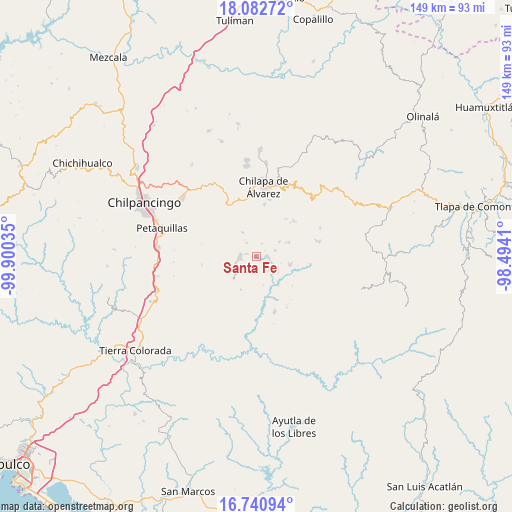
Santa Fe GPS coordinates[2]
17° 24' 47.016" North, 99° 11' 49.992" West
| Map corner | latitude | longitude |
|---|---|---|
| Upper-left | 18.08272°, | -99.90035° |
| Center: | 17.41306°, | -99.19722° |
| Lower-right: | 16.74094°, | -98.4941° |
| Map W x H: | 149.2×149.2 km | = 92.7×92.7mi |
| max Lat: | 32.7° ⇑84% North |
| Santa Fe: | 17.41306° |
| min Lat: | ⇓16% South 14.53588° |
| min Long | Santa Fe | max Long |
| -117.105° | -99.19722° | -86.73105° |
| W 47.3%⇐ | ⇒52.7% E |
Elevation
Elevation of Santa Fe is 861 m = 2825 ft, and this is 392.7 m = 1288 ft below average elevation for this country.
| Max E: |
3497 m = 11473 ft | 62.4% |
| Avg. | 1253.7 m = 4113 ft | |
| Santa Fe | 861 m = 2825 ft | |
Min E: |
-1 m = -3 ft | 37.6% |
See also: Mexico elevation on elevation.city.
Geographical zone
Santa Fe is located in North Torrid zone (between Equator and Tropic of Cancer). Distance of this Northern Tropic circle is 669.8 km =416.2 mi to North.| Distance of | km | miles | from Santa Fe |
|---|---|---|---|
| North Pole | 8070.9 | 5015 | to North |
| Arctic Circle | 5465 | 3395.8 | to North |
| Tropic Cancer | 669.8 | 416.2 | to North |
| Equator | 1936.2 | 1203.1 | to South |


Nearby cities:
15 places around Santa Fe: (largest is in red/bold)
• Achigca
8 km =5 mi,  329°
329°
• Atenxoxola
10.2 km =6.3 mi,  34°
34°
• Ayahualulco
9.9 km =6.2 mi,  9°
9°
• Aztatepec
9.8 km =6.1 mi,  244°
244°
• Colotlipa
3.2 km =2 mi,  91°
91°
• Coscamila
2.4 km =1.5 mi,  282°
282°
• El Jagüey
10.2 km =6.3 mi, 32°
• Jocutla
10 km =6.2 mi,  141°
141°
• Juxtlahuaca
5.7 km =3.5 mi,  71°
71°
• Ostocapa
4.7 km =2.9 mi,  323°
323°
• Quechultenango
4.8 km =3 mi,  271°
271°
• San Ángel
8.4 km =5.2 mi,  23°
23°
• Tlanicuilulco
10.1 km =6.3 mi,  104°
104°
• Tonalapa
9.8 km =6.1 mi, 331°
• Xiloxuchicán
7.9 km =4.9 mi, 31°
Sources, notices
• [Note1] Compared only with cities in Mexico existing in our database
• [Src1] Map data: © OpenStreetMap contributors (CC-BY-SA)
• [Src2] Other city data from geonames.org with taken over terms of usage.
• [Src3] Geographical zone / Annual Mean Temperature by Robert A. Rohde @ Wikipedia
